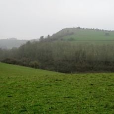
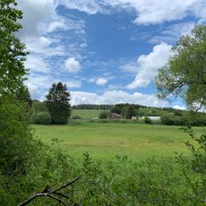
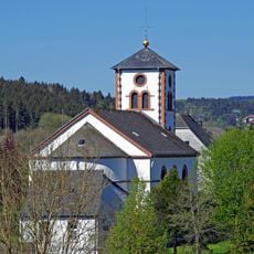
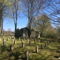
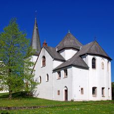
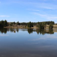
Heidenköpfe, Mountain peak in North Eifel, Germany.
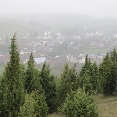
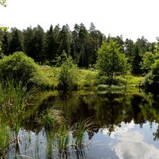
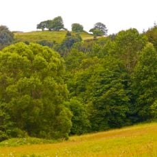
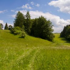
The Heidenköpfe are three forested summits in the Ripsdorf Forest: Heidenkopf I (about 591 m), Heidenkopf II (588.5 m) and Heidenkopf III (about 595 m). Heidenkopf I is a hillock, Heidenkopf II a hill spur with a firing range, and Heidenkopf III a rounded top on the North Rhine-Westphalia/Rhineland-Palatinate border. The Kyll tributary Glaadtbach rises on Heidenkopf I, the Morbach on Heidenkopf II and the Ahr tributary Schaafbach on Heidenkopf III.
The Roman road from Trier to Cologne ran through the wooded ground between Heidenkopf I and Heidenkopf III. A section of it is to be cleared and shown at the Vierherrenstein, a boundary stone 620 m southwest of Heidenkopf III that still marks the parish boundary.
The Vierherrenstein boundary stone near one of the peaks marks where local parishes once divided the land. This marker shows how the region was organized according to religious boundaries in earlier centuries.
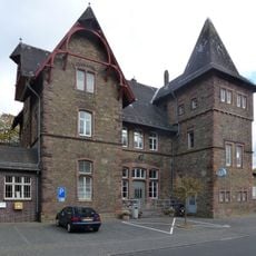
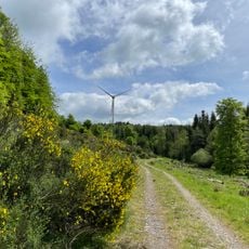
Multiple hiking trails lead to the peaks from nearby roads B51 and B421. The Eifel Railway also reaches nearby stations at Schmidtheim and Dahlem, offering another way to access the area.
The peaks sit within two nature parks at the same time: the High Fens-Eifel Nature Park and the Volcanic Eifel Nature Park. This dual location makes the area part of a special protected ecological zone.
The community of curious travelers
AroundUs brings together thousands of curated places, local tips, and hidden gems, enriched daily by 93,163 contributors worldwide.