
Erftniederung, Landschaftsschutzgebiet in Nordrhein-Westfalen, eines von zwei gleichnamigen Gebieten
Location: Weilerswist
Inception: 2004
GPS coordinates: 50.71813,6.81336
Latest update: September 15, 2025 08:36
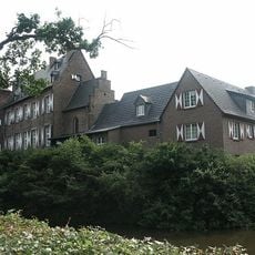
Burg Kühlseggen
5.8 km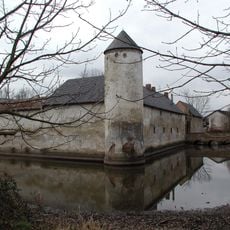
Weiße Burg Friesheim
5 km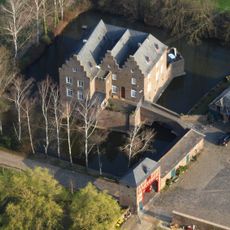
Wasserburg Redinghoven
5.4 km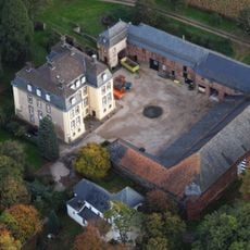
Große Burg Kleinbüllesheim
5.2 km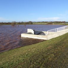
Hochwasserrückhaltebecken Erftstadt-Niederberg
4.1 km
Burg Kessenich
4.1 km
Burg Bodenheim
2.3 km
Mülheim Castle
5.3 km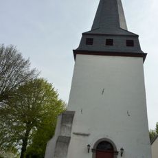
St. Martinus
5.9 km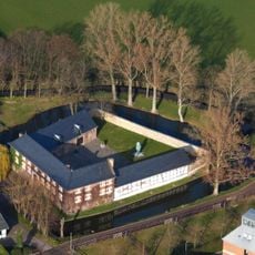
Burg Kleinvernich
2.9 km
Burg Großbüllesheim
4.1 km
Meckenheimer Straße 47
5.8 km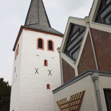
St. Michael
4 km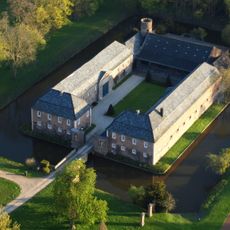
Haus Busch
6.1 km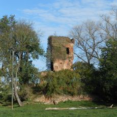
Burg Groß-Vernich
3 km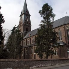
St. Martin
4.9 km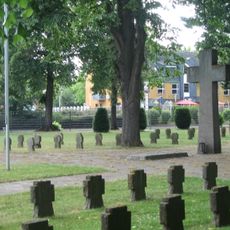
Friedhof Euskirchen
6.2 km
St. Peter und Paul
5.1 km
Antoniterhof Heimbacher Straße 73
2.4 km
St. Johann Baptist (Niederberg)
3.6 km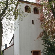
St. John the Baptist Church
5.1 km
Church of the Beheading of St. John the Baptist
3.7 km
St. Martinus
5.3 km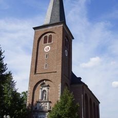
Heilig-Kreuz-Kirche
2.8 km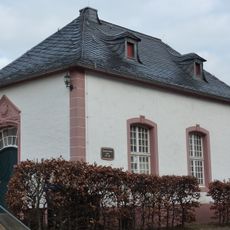
Spanisches Rathaus
1.6 km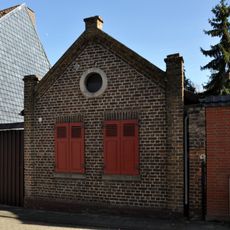
Synagogue Lommersum
1.5 km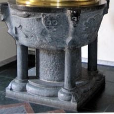
Baptismal font of St. Martin
4.9 km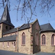
St. Johannes und Sebastianus
5.3 kmReviews
Visited this place? Tap the stars to rate it and share your experience / photos with the community! Try now! You can cancel it anytime.
Discover hidden gems everywhere you go!
From secret cafés to breathtaking viewpoints, skip the crowded tourist spots and find places that match your style. Our app makes it easy with voice search, smart filtering, route optimization, and insider tips from travelers worldwide. Download now for the complete mobile experience.

A unique approach to discovering new places❞
— Le Figaro
All the places worth exploring❞
— France Info
A tailor-made excursion in just a few clicks❞
— 20 Minutes