
Othaler Wald, forest reserves in Germany
Location: Mansfeld-Südharz
Inception: 2011
GPS coordinates: 51.47620,11.37590
Latest update: May 30, 2025 01:56

Gasthof zum Mohr
2.8 km
Europa-Rosarium
4.2 km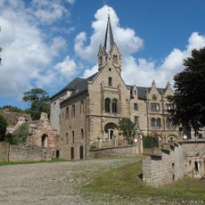
Burg Beyernaumburg
1.3 km
Spengler Museum Sangerhausen
5.7 km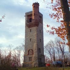
Moltke Watchtower
7.5 km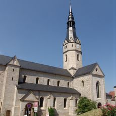
Sankt Ulrici (Sangerhausen)
5.2 km
Herz-Jesu-Kirche (Sangerhausen)
5.8 km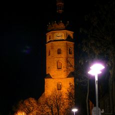
Jacobikirche
5.5 km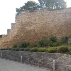
Altes Schloss Sangerhausen
5.3 km
Rathaus Sangerhausen
5.3 km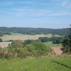
Gipskarstlandschaft Pölsfeld
6.5 km
Kirchenruine Hunsdorf
6.9 km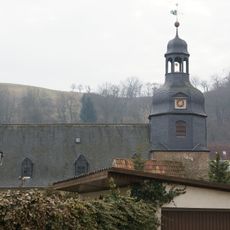
St. Moritz
2.6 km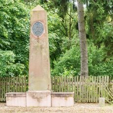
Meilenstein Emseloh
2.7 km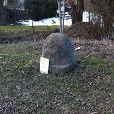
Meilenstein
3.4 km
Preußischer Viertelmeilenstein (Wimmelburg Birkenschäferei)
6.3 km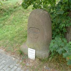
Meilenstein
4.7 km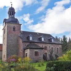
Dorfkirche Obersdorf
6 km
Friesenstadion
6.3 km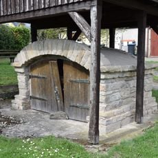
Hechlerbrunnen
3.5 km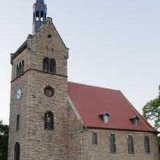
Saint Lawrence Church
4.3 km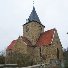
St. Urbani
1.4 km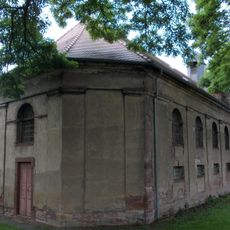
St. Lamberti (Blankenheim)
5 km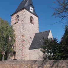
St. Wigberti (Riestedt)
2.6 km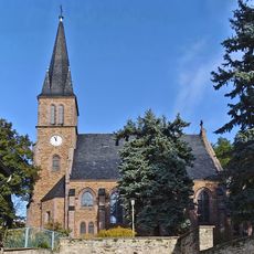
St. Margarethen (Gonna)
5.1 km
St. Andreas (Oberröblingen)
6.3 km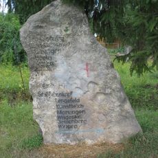
Wegweiserstein
6.4 km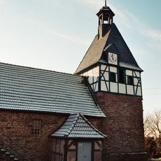
St. Cyriaki (Liedersdorf)
3.6 kmReviews
Visited this place? Tap the stars to rate it and share your experience / photos with the community! Try now! You can cancel it anytime.
Discover hidden gems everywhere you go!
From secret cafés to breathtaking viewpoints, skip the crowded tourist spots and find places that match your style. Our app makes it easy with voice search, smart filtering, route optimization, and insider tips from travelers worldwide. Download now for the complete mobile experience.

A unique approach to discovering new places❞
— Le Figaro
All the places worth exploring❞
— France Info
A tailor-made excursion in just a few clicks❞
— 20 Minutes