
Rodebachtal, Landschaftsschutzgebiet in Nordrhein-Westfalen; eines von mehreren gleichnamigen Gebieten
Location: Gangelt
Inception: 1989
GPS coordinates: 50.98482,6.01837
Latest update: April 12, 2025 12:36
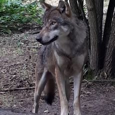
Wildpark Gangelt
3.7 km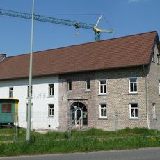
Castle Op Genhoes
4.3 km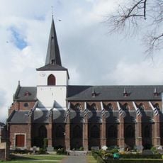
St. Nikolaus
1.7 km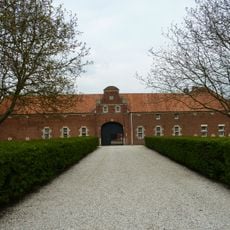
Etzenraderhuuske
3.8 km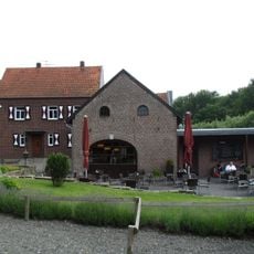
Etzenrather Mühle
3.7 km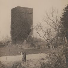
Gangelt Castle
1.6 km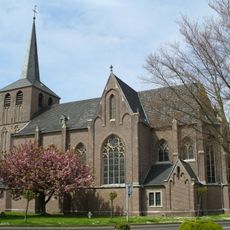
St. Urban
3.3 km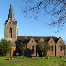
St. Marien
4.1 km
Brommler Mühle
3 km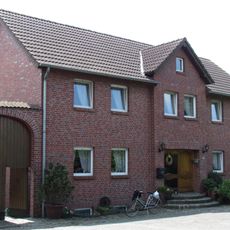
Platzmühle
726 m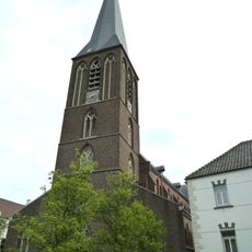
Sint-Eligiuskerk
3.4 km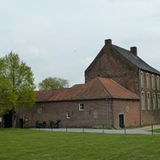
Schinvelder Huuske
3.9 km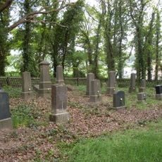
Jewish cemetery, Gangelt
803 m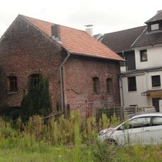
Synagoge (Gangelt)
1.7 km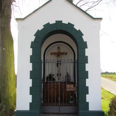
Kapelle am Gillrather Hof
4.2 km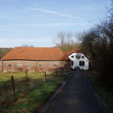
Roermolen
4.3 km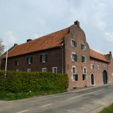
Etzenraderhof
4.3 km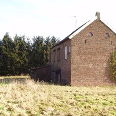
Brunssummer Molen
4 km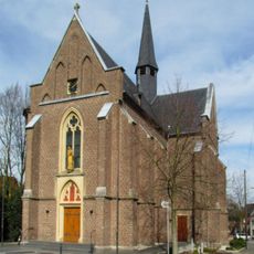
St. Josef
4 km
Onderste Molen
3.6 km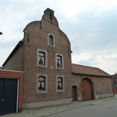
Huis ter Hallen
3.3 km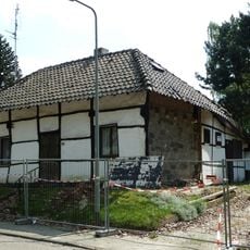
Bouwbergstraat 78, Brunssum
3.9 km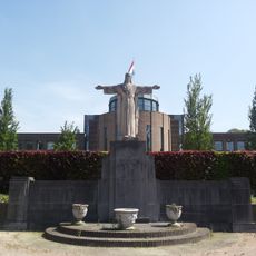
Statue of Sacred Heart of Jesus Christ
3.3 km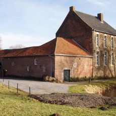
Bovenste Molen
4 km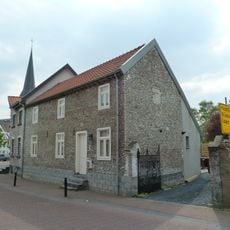
Ter Hallen 3, Schinveld
3.3 km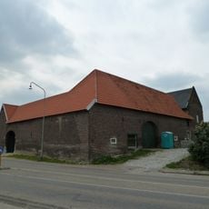
Brunssummerstraat 46, Schinveld
3.7 km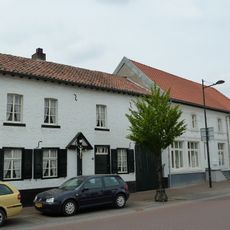
Wilhelminaplein 13, Schinveld
3.3 km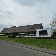
Basisschool Op de Berg
3.2 kmReviews
Visited this place? Tap the stars to rate it and share your experience / photos with the community! Try now! You can cancel it anytime.
Discover hidden gems everywhere you go!
From secret cafés to breathtaking viewpoints, skip the crowded tourist spots and find places that match your style. Our app makes it easy with voice search, smart filtering, route optimization, and insider tips from travelers worldwide. Download now for the complete mobile experience.

A unique approach to discovering new places❞
— Le Figaro
All the places worth exploring❞
— France Info
A tailor-made excursion in just a few clicks❞
— 20 Minutes