
Loogfels Nr. 203, Grenzstein zwischen Forst an der Weinstraße und Deidesheim
Location: Forst an der Weinstraße
Location: Deidesheim
Part of: political border
GPS coordinates: 49.41981,8.15174
Latest update: April 11, 2025 00:40

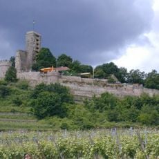
Wachtenburg
2.4 km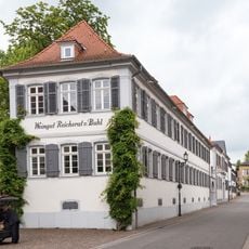
Weingut Reichsrat von Buhl
2.8 km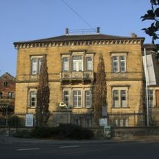
Weingut von Winning
2.7 km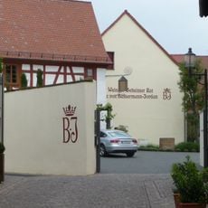
Weingut Geheimer Rat Dr. von Bassermann-Jordan
2.8 km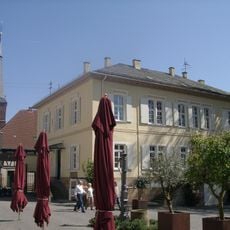
Ketschauer Hof
2.8 km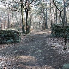
Heidenlöcher
1.2 km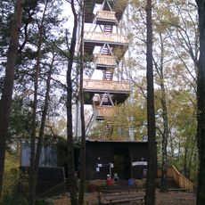
Eckkopf Tower
1.1 km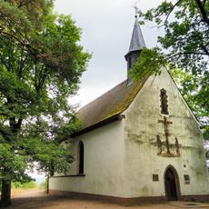
Michaelskapelle
1.4 km
Weinstraße 5
2.8 km
Rheingrabenrandstörung am Hahnenbühl
1.7 km
Weinstraße 21
2.8 km
Protestantische Kirche (Deidesheim)
2.8 km
Hinkelstein (Deidesheim)
1.6 km
Grimmeisenbrunnen
1.4 km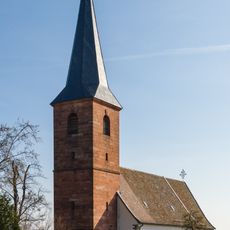
St. Margareta (Forst an der Weinstraße)
2.7 km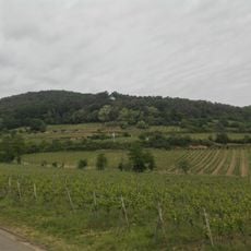
Kirchberg
1.1 km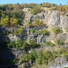
Haardtrand - Am Bechsteinkopf
1.4 km
Altes Zollhäuschen
2.7 km
Vineyard house (Deidesheim)
2.3 km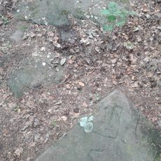
Christophel-Schuh
831 m
Wayside Shrine am Grain
2.6 km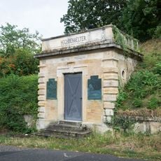
Hochbehälter
2.4 km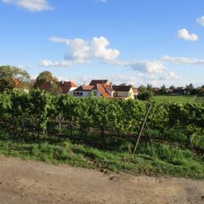
Forster Freundstück
2.7 km
Weinstraße 34
2.8 km
Weinstraße 32 (Deidesheim)
2.8 km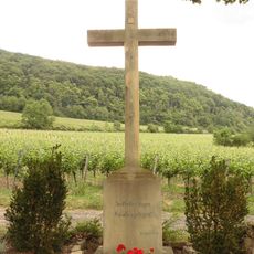
Wegekreuz in der Mühle
2.3 km
Weinstraße 14
2.7 km
Weinstraße 23 (Deidesheim)
2.8 kmReviews
Visited this place? Tap the stars to rate it and share your experience / photos with the community! Try now! You can cancel it anytime.
Discover hidden gems everywhere you go!
From secret cafés to breathtaking viewpoints, skip the crowded tourist spots and find places that match your style. Our app makes it easy with voice search, smart filtering, route optimization, and insider tips from travelers worldwide. Download now for the complete mobile experience.

A unique approach to discovering new places❞
— Le Figaro
All the places worth exploring❞
— France Info
A tailor-made excursion in just a few clicks❞
— 20 Minutes