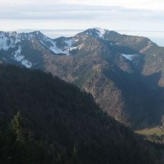
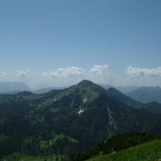
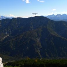
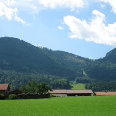
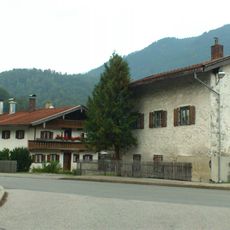
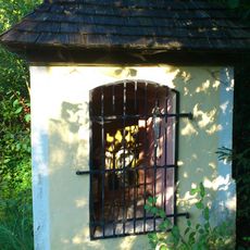
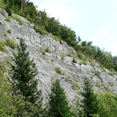
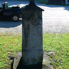
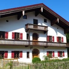
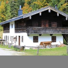
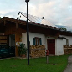
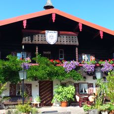
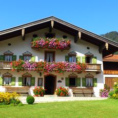
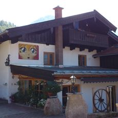
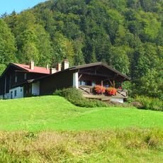
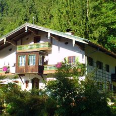
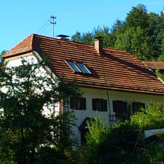
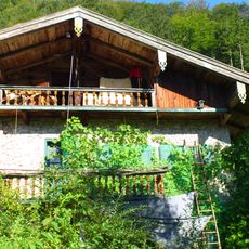
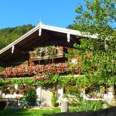
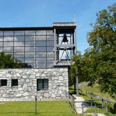
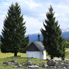
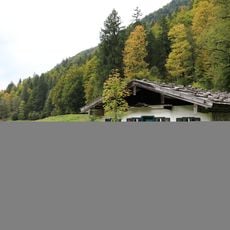
Röthelmoosalm, Mountain pasture in Ruhpolding, Germany.
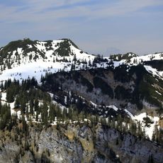
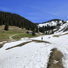
Röthelmoosalm is a roughly 10-square-kilometre alpine high plateau in the Chiemgau Alps, north of the Weitsee and about 9 kilometres southwest of Ruhpolding's centre, lying between about 880 and 940 metres above sea level. It is divided into a western Vorderröthelmoosalm, formed by the Langerbaueralm, and an eastern Hinterröthelmoosalm, formed by the Dandlalm. The plateau is framed by the Gründberg, Sulzgrabenkopf, Hörndlwand, Gurnwandkopf, Hochscharten, Rachelspitz and Rehwaldkopf.
Farmers have used this pasture as summer grazing land for centuries, adapting their methods to the mountain conditions over time. This continuous use shaped the landscape and kept the area open and free of forest.
The name combines "Röthel" with "Moos", the local word for the boggy high moor at the centre of the pasture, whose raised, watch-glass-shaped surfaces are fringed by grazing land. Two working farms, the Langerbaueralm in the west and the Dandlalm in the east, still serve food to hikers, and the moor itself is a protected geotope that should not be walked on.
The pasture can only be reached on foot or by bike. Trails lead from Weitsee through the Große Wappachtal, from Oberwössen via the Feldlahnalm, and from the Urschlau district of Ruhpolding along the Urschlauer Achen and the Röthelmoosbach. The raised bog in the middle should not be entered.
The marshy and moorland terrain holds rare plant species adapted to wet soil that you would not find elsewhere in this region. These special conditions make it a refuge for insects and small animals that depend on boggy habitats.
The community of curious travelers
AroundUs brings together thousands of curated places, local tips, and hidden gems, enriched daily by 94,651 contributors worldwide.