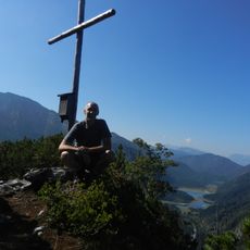
Dürrnbachhorn, Mountain summit in Chiemgau Alps, Austria
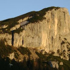
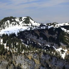
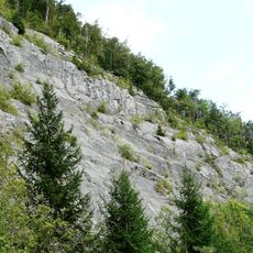
Dürrnbachhorn rises to 1776 meters and marks the border between Austria and Germany with its steep slopes and distinctive ridge. The sharp rock formations and exposed terrain define the character of this Chiemgau Alps summit.
A chairlift was constructed in the 1950s to support winter sports activities in the region. This infrastructure opened the mountain to wider access and helped develop it as a recreational destination.
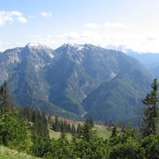
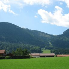
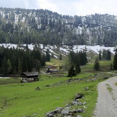
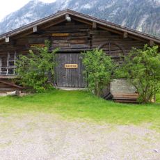
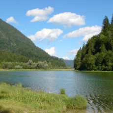
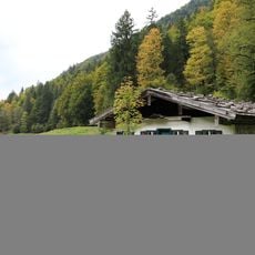
The Alpine pastures here show how shepherds and farmers have worked this land for generations during the summer season. Visitors can see cattle grazing and watch the daily rhythm of traditional Alpine farming unfold across the meadows.
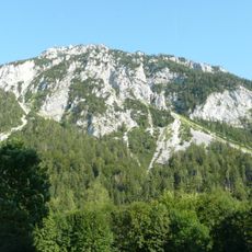
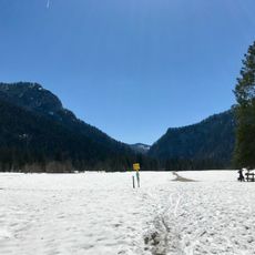
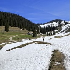
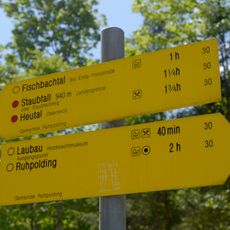
Multiple marked trails depart from the Seegatterl parking lot and reach the summit, with the challenging hike taking about three hours. Sturdy boots and plenty of water are essential, especially as the upper sections are exposed and can be windy.
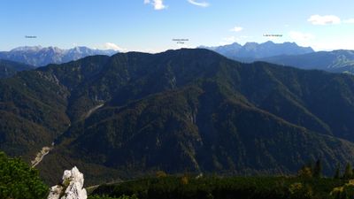
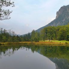
On clear days, visitors can spot three countries from the summit: Austria, Germany, and the distant Italian Dolomites in the distance. This vista reveals the summit's position at the heart of the Alpine tri-border region.
The community of curious travelers
AroundUs brings together thousands of curated places, local tips, and hidden gems, enriched daily by 60,000 contributors worldwide.