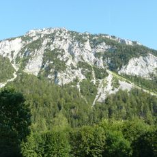
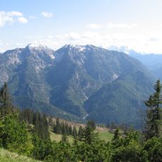
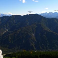
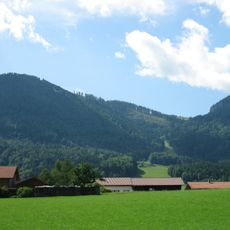
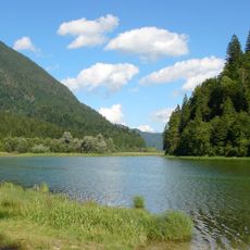
Östliche Chiemgauer Alpen, nature reserve in Bavaria, Germany
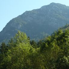
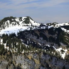
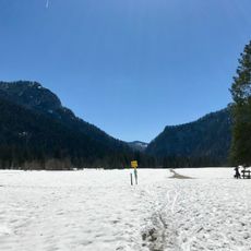
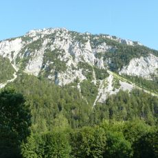
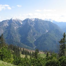
The Östliche Chiemgauer Alpen is a 9,757.66-hectare nature reserve in the Chiemgau Alps, Bavaria's fourth largest, shared by Schneizlreuth, Inzell, Ruhpolding and Reit im Winkl. It runs about 15 km from the Dreiseengebiet to Weißbach, split by the Fischbachtal, and rises from the Urschlauer Achen to the 1,961 m Sonntagshorn. Hauptdolomit and Wettersteinkalk build the peaks.
The reserve was placed under protection on 7 December 1954 under the name Hochkienberg, Dürrnbachhorn, Sonntagshorn, Inzeller Kienberg and Staufen, and officially established on 1 January 1955. At 9,757.66 hectares it is the fourth largest nature reserve in Bavaria, with 7,853.76 hectares in Traunstein district and 1,903.90 hectares in Berchtesgadener Land.
The reserve's name comes from the Chiemgau Alps range. Its official 1954 designation listed the Hochkienberg, Dürrnbachhorn, Sonntagshorn, Inzeller Kienberg and Staufen. The Sonntagshorn, at 1961 m the highest summit of the whole Chiemgau Alps, stands on the southern edge, where the reserve borders Austria.
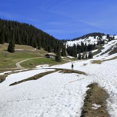
The area suits hiking, bird watching and simple nature exploration from the surrounding towns. Stay on marked trails, pack out all litter and be prepared for the quiet and remoteness of this mountain landscape.
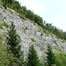
The reserve's largest protected zone is the Naturwald Kraxenbach, a natural forest left to develop without forestry. The Hauptdolomit bedrock, up to 2,500 metres thick, weathers easily and feeds large scree fields such as the Großer Sand above the Mittleres Kraxenbachtal and the Langer Sand on the Dürrnbachhorn.
The community of curious travelers
AroundUs brings together thousands of curated places, local tips, and hidden gems, enriched daily by 94,643 contributors worldwide.