Sonntagshorn, Mountain summit in Chiemgau Alps, Austria.
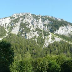
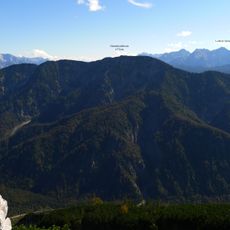
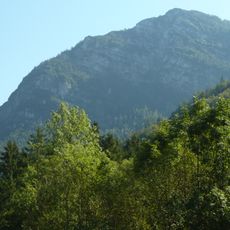
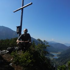
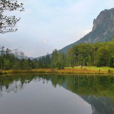
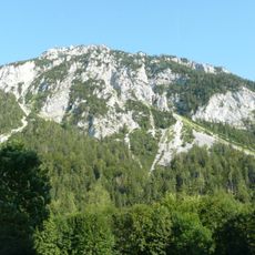
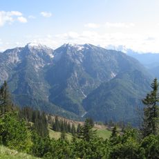
Sonntagshorn is a summit in the Chiemgau Alps that rises to 1,961 meters and features limestone rock formations throughout. The terrain shows gentle southern slopes that contrast with steeper northern faces, creating varied landscape patterns across its ridges and flanks.
The name Sonntagshorn appears as "Sontag Horn" on Philipp Apian's map of 1568 and as "Sonntag Horn B." on Anich's Atlas Tyrolensis of 1774. The linguist Karl Finsterwalder interpreted it as "Sunday pasture", a protected grazing place where cattle could graze unsupervised on Sundays. The claim that it derives from "Sonnendach" (sun roof) has no written evidence.
The name appears as "Sontag Horn" on Philipp Apian's map of 1568 and as "Sonntag Horn B." on the Atlas Tyrolensis of 1774. Linguist Karl Finsterwalder interpreted it as "Sonntagsweide", a protected pasture where cattle graze unsupervised on Sunday. The claim that it comes from "Sonnendach" (sun roof) has no written evidence.
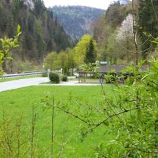
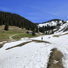
Several well-marked trails reach the summit, with the southern route through Heutal valley being the most accessible for regular hikers. This path avoids steep climbs and allows you to enjoy the surroundings at a leisurely pace.
The name Sonntagshorn does not refer to Sunday: the linguist Karl Finsterwalder interpreted it as "Sonntagsweide", a protected pasture where cattle could graze unsupervised on that day. The mountain already appears as "Sontag Horn" on Philipp Apian's map sheet 23 of 1568 and as "Sonntag Horn B." in Anich's Atlas Tyrolensis of 1774.
The community of curious travelers
AroundUs brings together thousands of curated places, local tips, and hidden gems, enriched daily by 94,092 contributors worldwide.