Ristfeuchthorn, Mountain summit in the Chiemgau Alps, Bavaria, Germany
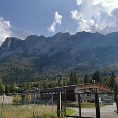
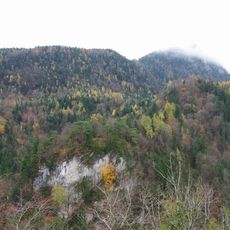
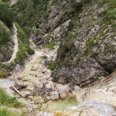
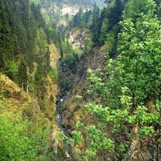
Ristfeuchthorn is a 1,569-meter summit in the Chiemgau Alps within Schneizlreuth municipality, Bavaria. Its roughly 300-meter-long north-northeast ridge holds two elevations: the main summit at 1,569 meters and a slightly lower north summit at 1,566 meters with a wooden cross. The mountain is built mainly of Upper Triassic Hauptdolomit and drops steeply east into the Weißbachklamm gorge.
The mountain lies in the municipality of Schneizlreuth in the Berchtesgadener Land district. Its name comes from the hamlet of Ristfeucht near Melleck, documented in local usage; Karl Finsterwalder read Rist as a cattle pen, Karl Eberl as brushwood. During the Würm glaciation the Saalach glacier flowed around the massif on both sides, reaching about 1,300 metres on its eastern flank, roughly 800 metres of ice thickness there.
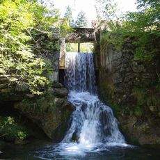
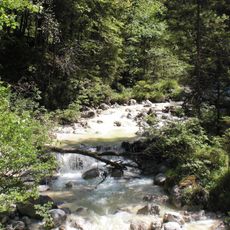
The name comes from the Schneizlreuth hamlet of Ristfeucht near Melleck. Linguists read Rist or Riest as a cattle pen (Karl Finsterwalder) or as brushwood (Karl Eberl), while Feucht refers to the many waterfalls on the mountain and the valleys of the Saalach. The Sellarnalm at 1,138 m is still reached by a track from Ristfeucht and Melleck.
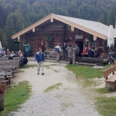
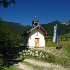
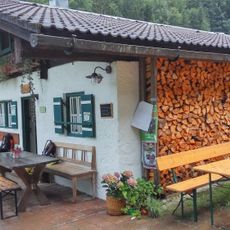
The shortest route starts at Gasthaus Schneizlreuth (516 m) on the B 21, not in the Weißbach valley. The narrow, steep path crosses below the east wall, then climbs in switchbacks through beech forest to a clearing with a wooden hut at 1,267 m. It gains just over 1,050 m in about 2.5 hours up and 2 hours down; the Sellarnalm path joins on the south ridge.
The summit ridge is only about 300 metres long but carries two tops: the main summit at 1,569 metres and a slightly lower north top at 1,566 metres, which holds the wooden summit cross. The ridge runs north-northeast, so the cross stands a short walk beyond the true high point.
The community of curious travelers
AroundUs brings together thousands of curated places, local tips, and hidden gems, enriched daily by 94,291 contributors worldwide.