
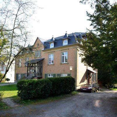
Wilhelm-Bonn-Straße 26, Cultural heritage monument in Kronberg im Taunus
Location: Kronberg im Taunus
Address: Wilhelm-Bonn-Straße 26
GPS coordinates: 50.17562,8.51190
Latest update: March 4, 2025 18:38

Casals Forum
608 m
St. Johann (Kronberg)
551 m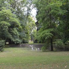
Victoriapark
587 m
Streitkirche
524 m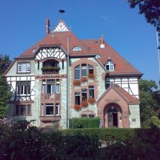
Villa Bonn (Kronberg)
402 m
Synagoge
562 m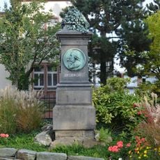
Denkmal Johann Ludwig Christ
362 m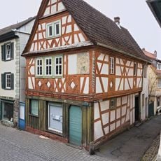
Friedrich-Ebert-Straße 27
537 m
An der Stadtmauer 2
469 m
Receptur
491 m
Drei Ritter
568 m
Haus Pferdstraße 3
476 m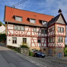
Talstraße 5
514 m
Am Wallgraben 1
452 m
Villa Haub
178 m
Friedrich Ebert-Straße 20
573 m
Villa Frank
315 m
Friedrich-Ebert-Straße 19
490 m
Evangelisches Pfarrhaus
345 m
Haus Steinstraße 17
606 m
Ehem. Schwesternwohnheim
521 m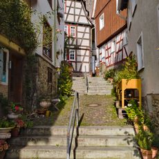
Haus Eichenstraße 4
570 m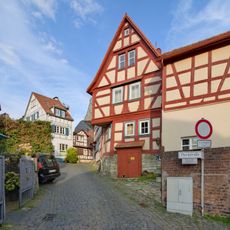
Haus Pferdstraße 16
500 m
An der Stadtmauer 6
402 m
Haus Grabenstraße 7
504 m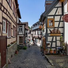
Haus Pferdstraße 1
485 m
Ehem. Gasthaus 'Zum Löwen'
554 m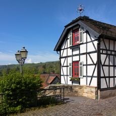
Haus Mauerstraße 15a
615 mReviews
Visited this place? Tap the stars to rate it and share your experience / photos with the community! Try now! You can cancel it anytime.
Discover hidden gems everywhere you go!
From secret cafés to breathtaking viewpoints, skip the crowded tourist spots and find places that match your style. Our app makes it easy with voice search, smart filtering, route optimization, and insider tips from travelers worldwide. Download now for the complete mobile experience.

A unique approach to discovering new places❞
— Le Figaro
All the places worth exploring❞
— France Info
A tailor-made excursion in just a few clicks❞
— 20 Minutes