
Brook, protected area in Germany
Location: Gronau
Inception: 2017
GPS coordinates: 52.22330,6.99520
Latest update: March 13, 2025 16:39
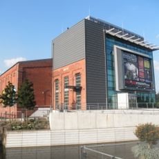
Rock'n'popmuseum
2.3 km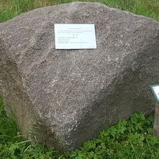
Glanerbrug
2.1 km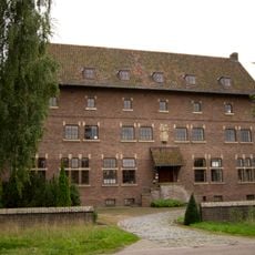
Klooster Dolphia
3.5 km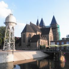
St. Antonius
2.3 km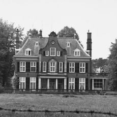
De Hooge Boekel
3.8 km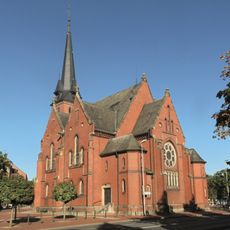
Evangelische Stadtkirche
2.6 km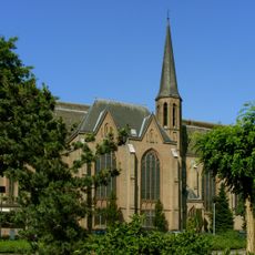
Maria Geboortekerk
4.5 km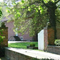
Maria Vlucht
165 m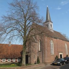
Hervormde Kerk
4.4 km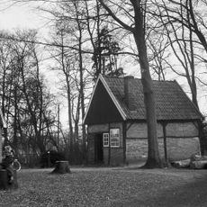
Bakspiker in vakwerk
2 km
Raadhuisplein 6, Losser
4.5 km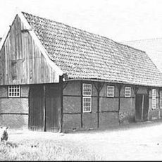
Schuur bij Glanestraat 7, Overdinkel
1.4 km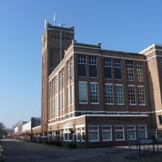
Losser Textielfabriek
3 km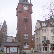
Alter Rathausturm
2.2 km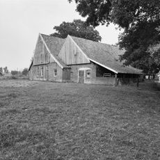
Wiggersweg 1, Losser
2.8 km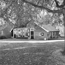
Raadhuisplein 4, Losser
4.4 km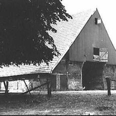
Beerninksweg 1, Overdinkel
3.8 km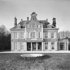
De Hooge Boekel: landhuis
3.8 km
Teylershuis
4.5 km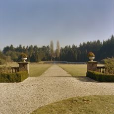
De Hooge Boekel
3.8 km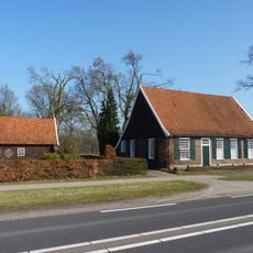
Hoofdstraat 1, Losser
3.4 km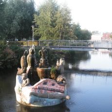
Zauberbrunnen
2.3 km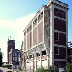

De Hooge Boekel: toegangshek
3.8 km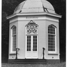
Tuinkoepel "De Boonekamp"
3 km
Zwerfsteen in wegberm Penningskotten en Strookappeweg; scheiding tussen Losser- en Lonnekermarke
3.6 km
Joods monument
4.5 km
Twee grenspalen nr848
1.7 kmReviews
Visited this place? Tap the stars to rate it and share your experience / photos with the community! Try now! You can cancel it anytime.
Discover hidden gems everywhere you go!
From secret cafés to breathtaking viewpoints, skip the crowded tourist spots and find places that match your style. Our app makes it easy with voice search, smart filtering, route optimization, and insider tips from travelers worldwide. Download now for the complete mobile experience.

A unique approach to discovering new places❞
— Le Figaro
All the places worth exploring❞
— France Info
A tailor-made excursion in just a few clicks❞
— 20 Minutes