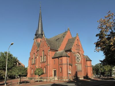
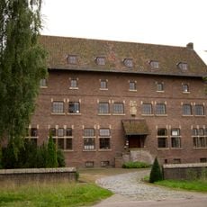
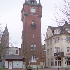
Evangelische Stadtkirche, Protestant church in Gronau, Germany.
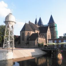
The Evangelische Stadtkirche is a church building in Gothic style built between 1896 and 1897, featuring three interior galleries, wooden ceiling elements, and a tower with a clock mechanism. The construction uses North German brick architecture and creates distinct interior spaces for different purposes.
The church was built because the previous evangelical chapel from 1738 became too small for the growing congregation. This new building represented a response to the community's expansion during the industrial period.
The church continues to serve its original function as a Reformed preaching church, reflecting the religious needs and architectural preferences of the local community when it was built. The design choices show how the congregation wanted spaces for both sermons and community gatherings.
The building is accessible from street level, and the interior galleries are connected by stairs for different viewing levels. Visitors should know the church remains active for worship and services, so visiting hours may vary depending on religious events.
Inside the church stands a choir bench from 1477, a surviving piece that connects the space to centuries of Protestant tradition in the region. This wooden furniture piece offers a tangible link to the past that visitors can observe.
The community of curious travelers
AroundUs brings together thousands of curated places, local tips, and hidden gems, enriched daily by 60,000 contributors worldwide.