Rur Dam, Earth-fill dam in Heimbach, Germany
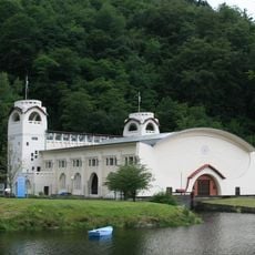
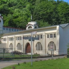
The Rur Dam (Rurtalsperre Schwammenauel) is a 77.4 m high earth-and-rockfill dam with an inner clay seal, built 1934–1938 and raised 1955–1959, about 2.7 km west of Heimbach's centre. Its crest at 284.43 m carries a road and railing; a gate tower with two dark drum gates and a small flat-roofed building stand at bridge level. It impounds the Rur into the 7.83 km² Rurstausee.
The dam was built between 1934 and 1939 to store water and generate energy. In February 1945, troops opened the gates deliberately to slow advancing armies, causing flooding downstream.
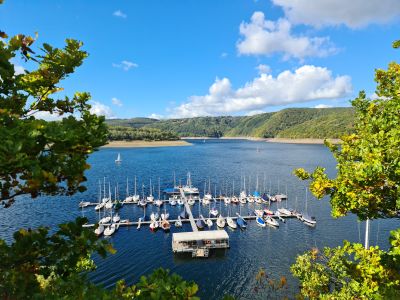
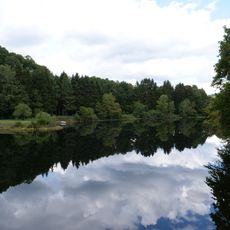
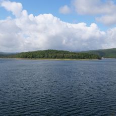
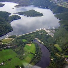
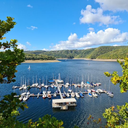
The reservoir is called Rursee locally, and its shore villages include Heimbach, Rurberg, Schmidt-Eschauel, Schwammenauel and Woffelsbach. The wooded island Eichert and the Eschauel peninsula with its bathing beach can be reached on foot when the water level is low. A ruined castle site lies on the Tonsberg peninsula.
The dam crest at 284.43 m carries a road and a walkway with railing, linking Heimbach-Hasenfeld with the western shore; the structure stands about 2.7 km west of Heimbach's centre. Access to the water is possible from Heimbach, Rurberg, Schmidt-Eschauel, Schwammenauel and Woffelsbach. The Eichert island and the Eschauel and Tonsberg peninsulas can be reached on foot when the water level is low.
The wooded Eichert island rises about 36.5 metres above the reservoir's full-supply level of 281.5 metres, and a second small island roughly 100 metres long lies about 500 metres southwest of it; both are spurs of the Eschauel and Tonsberg peninsulas and can be reached on foot when the water is low. A ruined castle, listed as a monument, sits on the Tonsberg peninsula.
The community of curious travelers
AroundUs brings together thousands of curated places, local tips, and hidden gems, enriched daily by 94,435 contributors worldwide.