
Ochsenfels W der Saußmühle, Geotop in Landkreis Freyung-Grafenau in Bavaria, Germany
Location: Waldkirchen
Elevation above the sea: 510 m
Length: 15 m
Width: 30 m
Part of: Cultural heritage D-2-7247-0021 in Waldkirchen
GPS coordinates: 48.71794,13.59148
Latest update: June 10, 2025 12:50

Erlauzwieseler See
3.6 km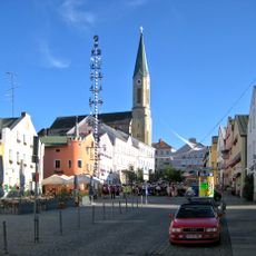
St. Peter und Paul (Waldkirchen)
1.5 km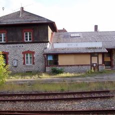
Station building at Waldkirchen station
2.4 km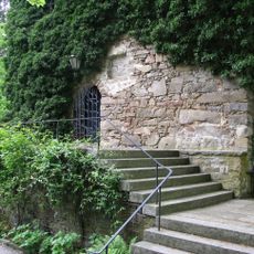
Burg Kaltenstein
4.5 km
Oberfrauenwald
6.1 km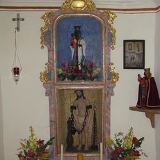
Marienkapelle Ensmannsreut
5.7 km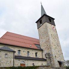
St. Josef
5.4 km
Cultural heritage D-2-7247-0029 in Büchlberg
4.3 km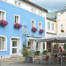
Tourismusbüro
1.6 km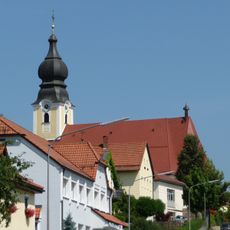
St. Michael
5.6 km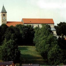
Wallfahrtskirche St. Ägidius
5.9 km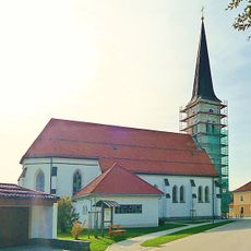
Katholische Pfarrkirche St. Maria Hilfe der Christen
6.9 km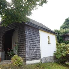
Grabenkapelle
892 m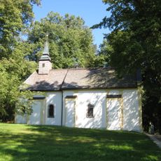
St. Karl Borromäus
1.2 km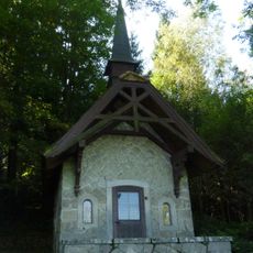
Lourdes-Kapelle
1.6 km
Schutz des Freudensees und von Landschaftsteilen um den Freudensee (LSG Freudensee)
6.8 km
Katholische Filialkirche St. Korona
6.3 km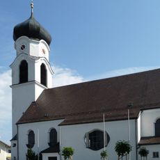
St. Laurentius
4.3 km
Ortskapelle
2.4 km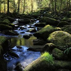
Saußbachleite
832 m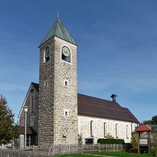
Katholische Filialkirche St. Bruder Konrad
5.8 km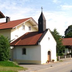
Ortskapelle
3.3 km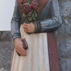
Waldkirchener Radabweiser - Die steinerne Gretl
1.6 km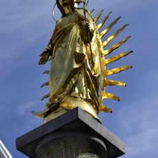
Mariensäule
1.5 km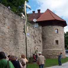
Ehemalige Marktbefestigung
1.5 km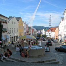
Ensemble Marktplatz
1.6 km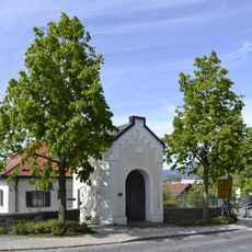
Wegkapelle St. Magdalena
1.7 km
Ehem. Gasthaus
2.4 kmReviews
Visited this place? Tap the stars to rate it and share your experience / photos with the community! Try now! You can cancel it anytime.
Discover hidden gems everywhere you go!
From secret cafés to breathtaking viewpoints, skip the crowded tourist spots and find places that match your style. Our app makes it easy with voice search, smart filtering, route optimization, and insider tips from travelers worldwide. Download now for the complete mobile experience.

A unique approach to discovering new places❞
— Le Figaro
All the places worth exploring❞
— France Info
A tailor-made excursion in just a few clicks❞
— 20 Minutes