
Einfriedung Königstraße 23 in Rosenheim, cultural heritage monument D-1-63-000-84 (1) in Rosenheim, Bavaria
Location: Rosenheim
Part of: Königstraße 23
Address: Königstraße 23
GPS coordinates: 47.85262,12.13040
Latest update: April 14, 2025 00:06
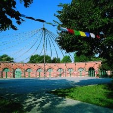
Lokschuppen Rosenheim
132 m
Parish Church St. Nicholas, Rosenheim
384 m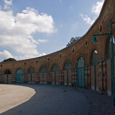
Bahnbetriebswerk Rosenheim
60 m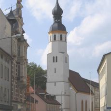
St. Joseph
315 m
Redeemer Church (Rosenheim)
45 m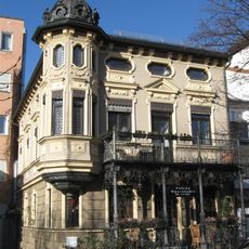
Max-Joseph-Platz 8a
375 m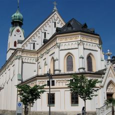
Sankt Nikolaus
382 m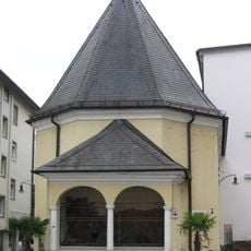
Ölbergkapelle (Rosenheim)
358 m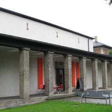
Städtische Galerie Rosenheim
57 m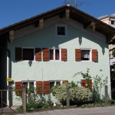
Kufsteiner Straße 26
336 m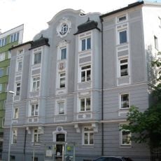
Innstraße 50
380 m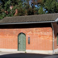
Kufsteiner Straße 20
300 m
Spitalstraße 3
376 m
Hammerweg 8
270 m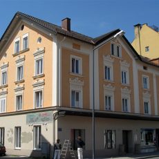
Innstraße 24
237 m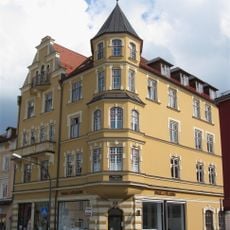
Innstraße 22
233 m
Innstraße 14
278 m
Hofmannstraße 4
299 m
Bismarckstraße 1
209 m
Rathaus
92 m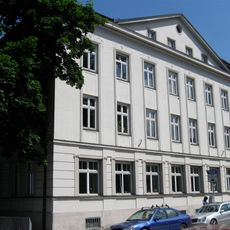
Königstraße 7
254 m
Königstraße 23
8 m
Rathausstraße 12
340 m
Wohnhaus
138 m
Dr.-Geiger-Straße 2
211 m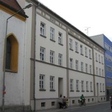
Innstraße 2a, 4
349 m
Rathausstraße 10
353 m
Königstraße 1
335 mReviews
Visited this place? Tap the stars to rate it and share your experience / photos with the community! Try now! You can cancel it anytime.
Discover hidden gems everywhere you go!
From secret cafés to breathtaking viewpoints, skip the crowded tourist spots and find places that match your style. Our app makes it easy with voice search, smart filtering, route optimization, and insider tips from travelers worldwide. Download now for the complete mobile experience.

A unique approach to discovering new places❞
— Le Figaro
All the places worth exploring❞
— France Info
A tailor-made excursion in just a few clicks❞
— 20 Minutes