
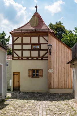
Strohbauernturm, Befestigungsturm, 15./16. Jh., Anbau Anfang 19. Jh
Location: Beilngries
Part of: Stadtbefestigung
Address: Innerer Graben 5
GPS coordinates: 49.03426,11.47200
Latest update: March 11, 2025 04:55

Saint Walburga
119 m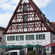
„Der Millipp“ inn
169 m
Kaiserbeck House
164 m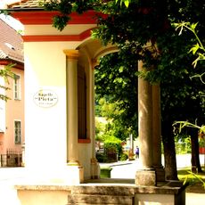
Pietà chapel
24 m
Town house
173 m
Pharmacy
44 m
Wayside shrine
162 m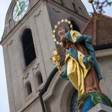
Immaculate Virgin statue
155 m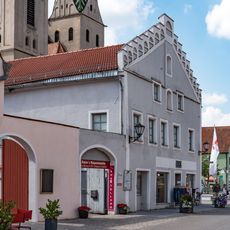
Ensemble former town house
170 m
Wasserschöpferturm
44 m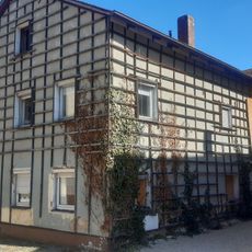
Former crafter's house
169 m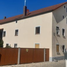
Residential building
148 m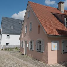
Residential building
75 m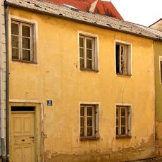
Residential building
131 m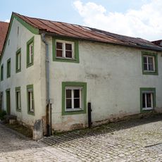
Residential building
55 m
Residential building
79 m
Sauhüterturm
93 m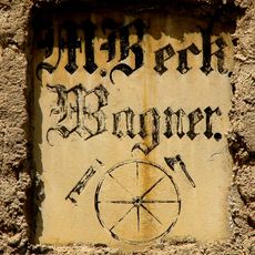
Inscription table
53 m
Residential building
36 m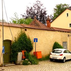
Stadtbefestigung
138 m
Part of city walls and remains of a defensive tower
118 m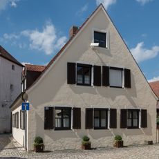
Residential building
81 m
Former chaplain's house
106 m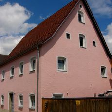
Residential building
107 m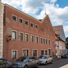
Former Wagnerbräu inn
169 m
Town house ensemble
168 m
Hauptstraße 17
160 m
Crafter's house
130 mReviews
Visited this place? Tap the stars to rate it and share your experience / photos with the community! Try now! You can cancel it anytime.
Discover hidden gems everywhere you go!
From secret cafés to breathtaking viewpoints, skip the crowded tourist spots and find places that match your style. Our app makes it easy with voice search, smart filtering, route optimization, and insider tips from travelers worldwide. Download now for the complete mobile experience.

A unique approach to discovering new places❞
— Le Figaro
All the places worth exploring❞
— France Info
A tailor-made excursion in just a few clicks❞
— 20 Minutes