
Pulpit of Klosterkirche St. Benedikt, Kanzel in der katholischen Pfarrkirche und ehemaligen Klosterkirche St. Benedikt in Benediktbeuern, einer Gemeinde im oberbayerischen Landkreis Bad Tölz-Wolfratshausen
Part of: Klosterkirche St. Benedikt
GPS coordinates: 47.70750,11.39917
Latest update: March 15, 2025 13:07

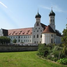
Benediktbeuern Abbey
33 m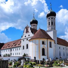
Klosterkirche St. Benedikt
2 m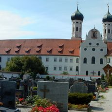
Anastasiakapelle
42 m
Zentrum für Umwelt und Kultur Benediktbeuern
193 m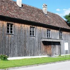
Fraunhofer Glashütte
183 m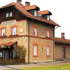
Benediktbeuern station
342 m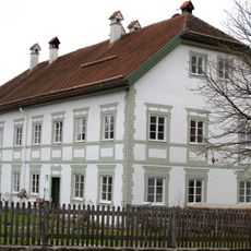
Bahnhofstraße 26 (Benediktbeuern)
748 m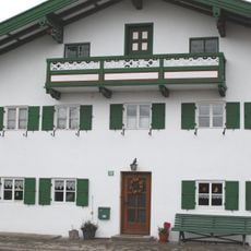
Asamstraße 28 (Benediktbeuern)
1.2 km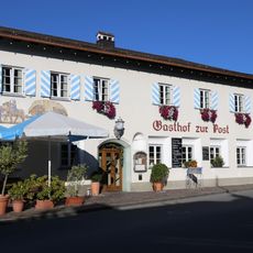
Gasthof zur Post
994 m
Mariä Himmelfahrt (Benediktbeuern)
976 m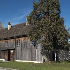
Museum
184 m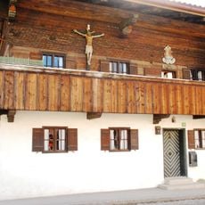
Ehemals Bauernhaus
1.1 km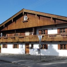
Ehemals Bauernhaus
1.2 km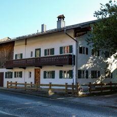
Kleinbauernhaus
1.1 km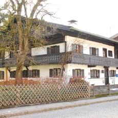
Ehemals Kleinbauernhaus
1.1 km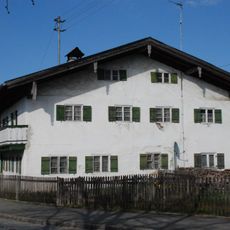
Bauernhaus
1.3 km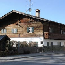
Ehemals Bauernhaus
931 m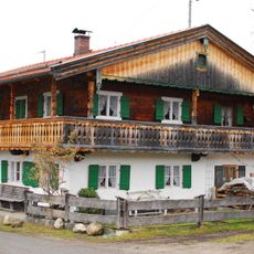
Ehemals Kleinbauernhaus
1.3 km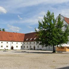
Meierhof
194 m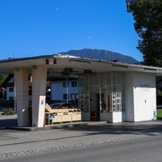
Ehemals Tankstelle
1 km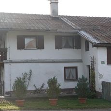
Tiroler Weg 4
1.2 km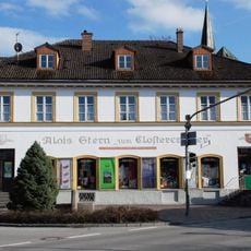
Krämerei
965 m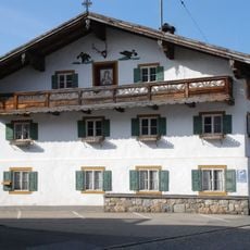
Ehemals Bauernhaus
1.2 km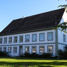
Pfarrhaus
1 km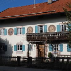
Ehemals Bauernhaus
1.2 km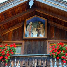
Figurenkasten
1.2 km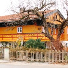
Bahnhofstraße 46
526 m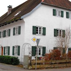
Ehemals Gasthaus zum Bernecker
697 mReviews
Visited this place? Tap the stars to rate it and share your experience / photos with the community! Try now! You can cancel it anytime.
Discover hidden gems everywhere you go!
From secret cafés to breathtaking viewpoints, skip the crowded tourist spots and find places that match your style. Our app makes it easy with voice search, smart filtering, route optimization, and insider tips from travelers worldwide. Download now for the complete mobile experience.

A unique approach to discovering new places❞
— Le Figaro
All the places worth exploring❞
— France Info
A tailor-made excursion in just a few clicks❞
— 20 Minutes