
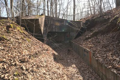
Bunker WH 337, Bunker in St. Ingbert, Germany
Location: Sankt Ingbert
Inception: 1937
Part of: Siegfried Line
GPS coordinates: 49.26327,7.08884
Latest update: March 11, 2025 12:12
Stiefel
755 m
Spellenstein
557 m
Alte Schmelz
1.7 km
Kunstforum Baden-Badener Versicherung
1.8 km
Museum St. Ingbert
2.4 km
Alte Baumwollspinnerei
2.4 km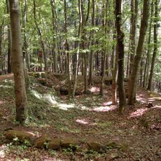
Stiefeler Schloss
979 m
Villa Wagner
1.9 km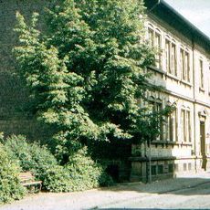
Pfarrgaßschulhaus
2.7 km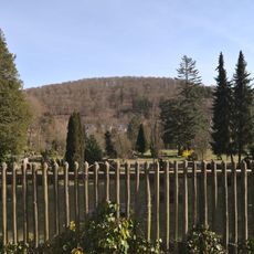
Kleiner Stiefel
1.8 km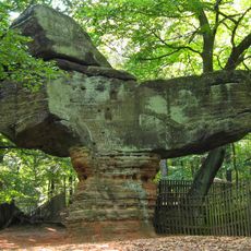
Großer Stiefel
861 m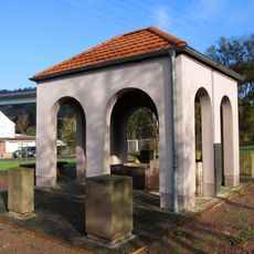
Waschbrunnen
433 m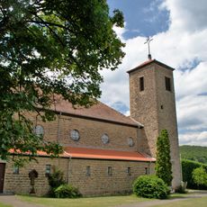
Church of the Holy Family
407 m
Großer Barten-Berg
2.2 km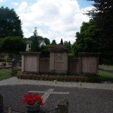
War Memorial
382 m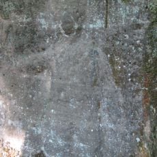
Felsenrelief Hänsel und Gretel
1.9 km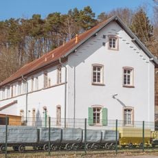
Ensemble Rischbach-Anlage
2.6 km
Ensheimer Straße 20
2 km
Landschaftsschutzgebiet L 6.03.03
506 m
Burden shed
1.6 km
Herrenhaus
1.7 km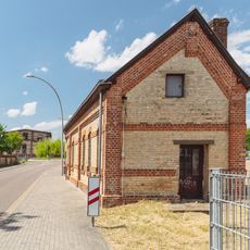
Dudweilerstraße 16a
2 km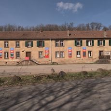
Alte Schmelz 64
1.6 km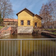
Pumpenhaus
2 km
Rentrischer Talbrücke
567 m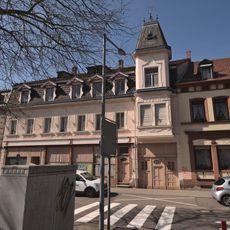
Alte Bahnhofstraße 24
2.3 km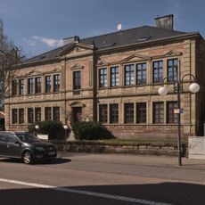
Luitpoldschule
2.3 km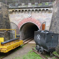
Rischbachstollenmundloch
2.6 kmReviews
Visited this place? Tap the stars to rate it and share your experience / photos with the community! Try now! You can cancel it anytime.
Discover hidden gems everywhere you go!
From secret cafés to breathtaking viewpoints, skip the crowded tourist spots and find places that match your style. Our app makes it easy with voice search, smart filtering, route optimization, and insider tips from travelers worldwide. Download now for the complete mobile experience.

A unique approach to discovering new places❞
— Le Figaro
All the places worth exploring❞
— France Info
A tailor-made excursion in just a few clicks❞
— 20 Minutes