
Essen-Ort, Center of the Essen (Oldenburg) municipality
Location: Essen (Oldenburg)
Shares border with: Brokstreek, Osteressen, Hülsenmoor, Felde, Sandloh, Ahausen
GPS coordinates: 52.72249,7.93523
Latest update: May 8, 2025 16:35

Artland-Arena
5.4 km
Saint Catherine of Alexandria Church
14.4 km
St. Sylvester
5.2 km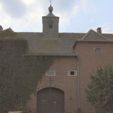
Gut Vehr
4.6 km
St. Marien
5.4 km
Molli Bär Spielpark
14.8 km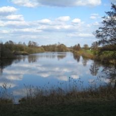
Polder Lüsche
10.6 km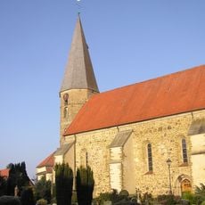
St. Georg
10.4 km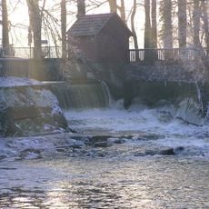
Haseüberfall
6.9 km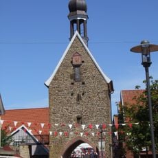
Hohe Pforte
5.1 km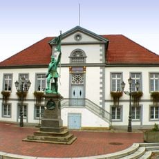
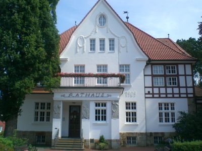
Rathaus
5.4 km
St. Petrus
9.4 km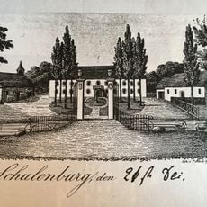
Schulenburg
11.6 km
St. Marienkirche
9.5 km
St. Marien
10.3 km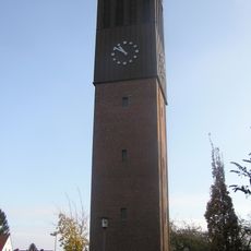
St. Petrus
5.8 km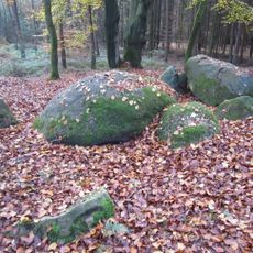
Oldendorfer Hünensteine
9.9 km
St. Paulus
4.5 km
St. Bonifatius
11.3 km
St. Marien
12.9 km
Moorburg (Menslage)
10.2 km
Saint Joseph Church (Lüsche, Bakum)
9.7 km
St. Marien
5 km
St. Aloysius
14 km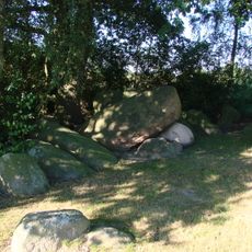
Ganggrab auf dem Sonderling
9.8 km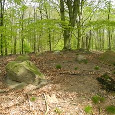
Großsteingräber im Fuhrenkamp
10.1 km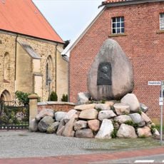
Bismarck-Denkmal
10.4 km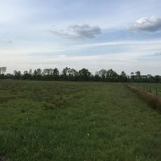
Suddenmoor
14.8 kmReviews
Visited this place? Tap the stars to rate it and share your experience / photos with the community! Try now! You can cancel it anytime.
Discover hidden gems everywhere you go!
From secret cafés to breathtaking viewpoints, skip the crowded tourist spots and find places that match your style. Our app makes it easy with voice search, smart filtering, route optimization, and insider tips from travelers worldwide. Download now for the complete mobile experience.

A unique approach to discovering new places❞
— Le Figaro
All the places worth exploring❞
— France Info
A tailor-made excursion in just a few clicks❞
— 20 Minutes