
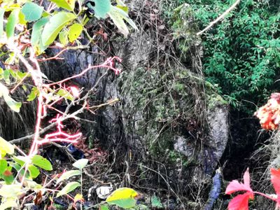
Bunker 234 Aschaffenburg, Little Siegfried Line fortification
Location: Aschaffenburg
Inception: 1936
Part of: Little Siegfried Line
GPS coordinates: 49.95054,9.13107
Latest update: March 15, 2025 06:44

Rosso Bianco
850 m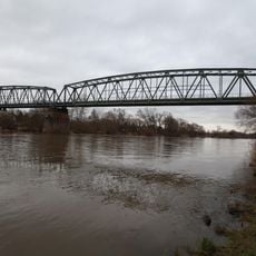
Nilkheimer Mainbrücke
879 m
Judenfriedhof
1.3 km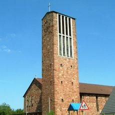
St. Kilian (Aschaffenburg)
1.2 km
St. Jakobus (Aschaffenburg)
1.7 km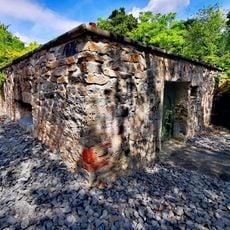
Bunker 224 Aschaffenburg
1.5 km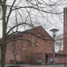
Pfarrkirche
1.2 km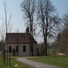
Kapelle
1.5 km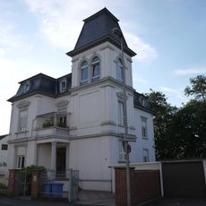
Stadtvilla
1.6 km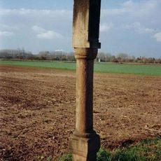
Bildstock
524 m
Friedhof
1.6 km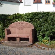
Steinbank
1.3 km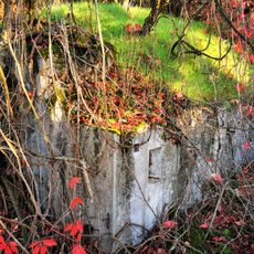
Bunker 235 Aschaffenburg
199 m
Gutshof
1.4 km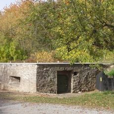
Bunker
1.5 km
Bildstock
1.5 km
Marienbild
1.6 km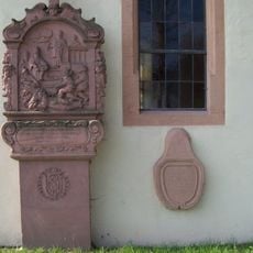
Bildstock
1.5 km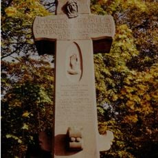
Kriegerdenkmal
1.7 km
Bildstock
1.5 km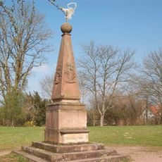
Landschaftsgarten
1.2 km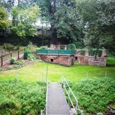
Ruine
1.3 km
Streuobstwiesen zwischen Erbig und Bischberg
1.2 km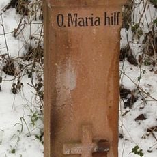
Bildstock
765 m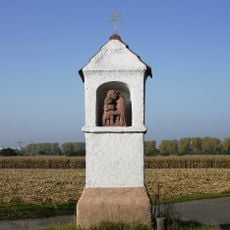
Bildstock
262 m
Siedlerhaus
1.6 km
Bildstock
1.1 km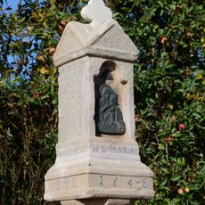
Bildstock
770 mReviews
Visited this place? Tap the stars to rate it and share your experience / photos with the community! Try now! You can cancel it anytime.
Discover hidden gems everywhere you go!
From secret cafés to breathtaking viewpoints, skip the crowded tourist spots and find places that match your style. Our app makes it easy with voice search, smart filtering, route optimization, and insider tips from travelers worldwide. Download now for the complete mobile experience.

A unique approach to discovering new places❞
— Le Figaro
All the places worth exploring❞
— France Info
A tailor-made excursion in just a few clicks❞
— 20 Minutes