
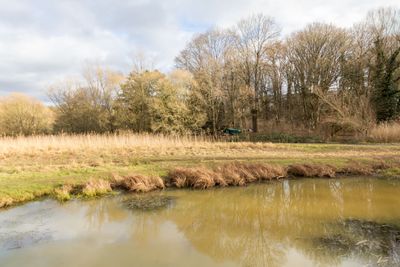
Pegnitztal Ost, protected landscape in Bavaria, Germany
Location: Nuremberg
Inception: July 12, 2000
GPS coordinates: 49.47039,11.15556
Latest update: March 3, 2025 02:54
Laufamholz
676 m
Industriegut Hammer (Nürnberg)
974 m
Schloss Oberbürg
80 m
Pegnitztal Ost
322 m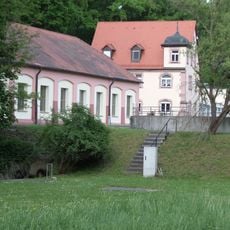
Wasserwerk
497 m
Heuchlinger Straße 15
942 m
Moritzbergstraße 62
785 m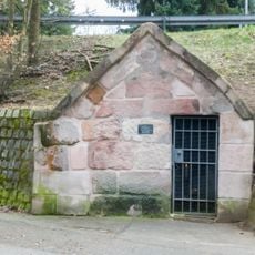
Zur schmerzhaften Mutter
734 m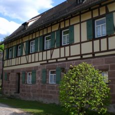
Kutscherhaus in Hammer
918 m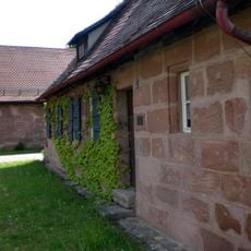
Arbeiterhaus in Hammer
903 m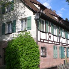
Ehemaliges Arbeiterwohnhaus und Verwaltungsgebäude in Hammer
995 m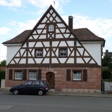
Moritzbergstraße 36
595 m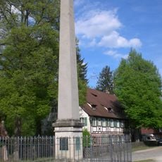
Denkmal in Hammer
952 m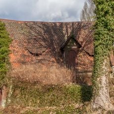
Kontorgebäude
980 m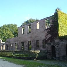
Herrenhaus Hammer (Nuremberg)
944 m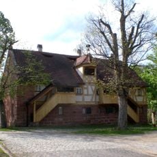
Uhrenhaus
933 m
Laufamholzstraße 201
428 m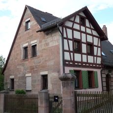
Winner Zeile 15
508 m
Laufamholzstraße 199 (D-5-64-000-2395)
431 m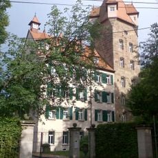
Schloss Unterbürg
658 m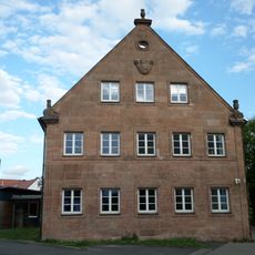
Moritzbergstraße 50-52
744 m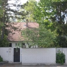
Laufamholzstraße 197
454 m
Wasserwerk Erlenstegen
241 m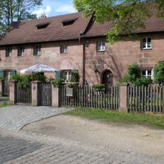
Doppelhaus in Hammer
960 m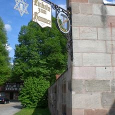
Einkehr zum Hammer
975 m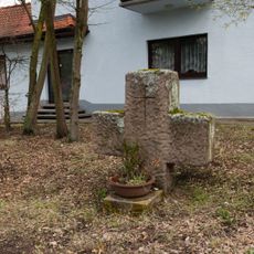
Steinkreuz in Laufamholz
477 m
Moritzbergstraße 51 (D-5-64-000-1362)
720 m
Arbeiterhaus
995 mReviews
Visited this place? Tap the stars to rate it and share your experience / photos with the community! Try now! You can cancel it anytime.
Discover hidden gems everywhere you go!
From secret cafés to breathtaking viewpoints, skip the crowded tourist spots and find places that match your style. Our app makes it easy with voice search, smart filtering, route optimization, and insider tips from travelers worldwide. Download now for the complete mobile experience.

A unique approach to discovering new places❞
— Le Figaro
All the places worth exploring❞
— France Info
A tailor-made excursion in just a few clicks❞
— 20 Minutes