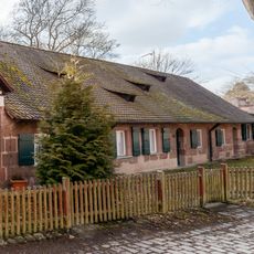
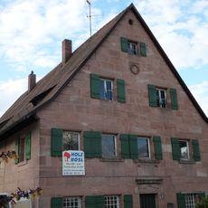
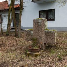
Laufamholz, Statistical district in eastern Nuremberg, Germany
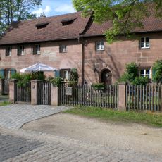
Laufamholz is a residential district in eastern Nuremberg with neighborhoods, schools, and local shops serving everyday needs. The area features quiet streets where families and neighbors go about their daily routines.
Laufamholz was first documented in 1256, when brothers Ulricus and Heinricus de Lauffenholtz appeared in a purchase deed of Kastl Abbey. The name derives from the rapids (Loufe) on the Pegnitz. In 1938 the municipality was incorporated into Nuremberg; in 1943 bombing destroyed 70% of its buildings.
The district maintains detailed population records through the Nuremberg City Office for Urban Research, documenting changes in gender distribution and citizenship status.
Laufamholz lies between the Pegnitz to the north and the Nuremberg–Schwandorf railway to the south, with the A3 motorway forming its eastern edge. The Pegnitztal-Ost landscape protection area borders the entire northern side and the far southeast. The Schneidersbach and Hülzlgraben streams cross the eastern Freiland district.
The name comes from the Pegnitz rapids: "Loufe" meant the river's fast stretch, and "Lauffenholtz" was the forest above it. The brothers Ulricus and Heinricus de Lauffenholtz appear in a 1256 purchase deed of Kastl Abbey, naming themselves after the fortified seat of Unterbürg built on that wooded rise.
The community of curious travelers
AroundUs brings together thousands of curated places, local tips, and hidden gems, enriched daily by 94,766 contributors worldwide.