
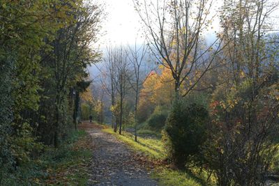
Inschutznahme des sog. Brandl, Ortsteil Degerndorf/Inn, Gemeinde Brannenburg
Inschutznahme des sog. Brandl, Ortsteil Degerndorf/Inn, Gemeinde Brannenburg, protected landscape in Bavaria, Germany
Location: Rosenheim
Inception: 1964
GPS coordinates: 47.73457,12.10046
Latest update: March 13, 2025 19:22
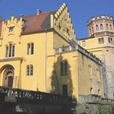
Schloss Brannenburg
1 km
Pfarrkirche Mariä Himmelfahrt
871 m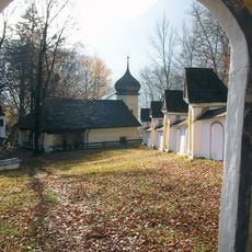
Wallfahrtskirche St. Maria Magdalena auf der Biber
923 m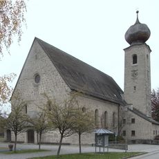
Pfarrkirche Christkönig
227 m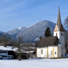
St. Ägidius (Degerndorf)
576 m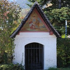
Hofkapelle Milbinger Straße 26
729 m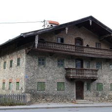
Sudelfeldstraße 32
315 m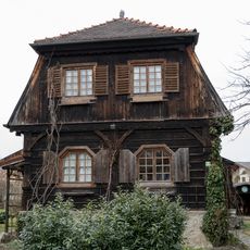
Einfamilienhaus
526 m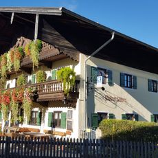
Milbinger Straße 26
756 m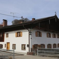
Bräuhausgasse 2
962 m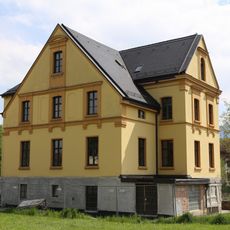
Villa, sogenannte Villa Steinbeis
742 m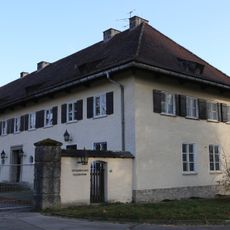
Ehemaliges Offizierskasino
693 m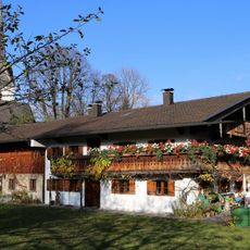
Bauernhaus
585 m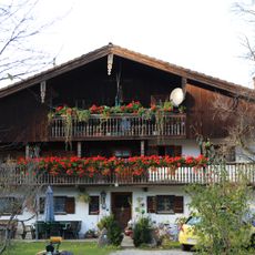
Bauernhaus
269 m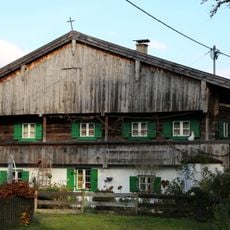
Sudelfeldstraße 38
265 m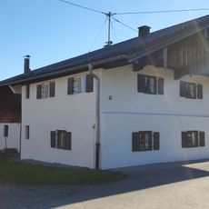
Milbinger Straße 43 (Milbing)
966 m
Milbinger Straße 41
941 m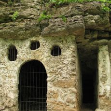
Biberklause
953 m
Milbinger Straße 31
788 m
Bauernhaus
343 m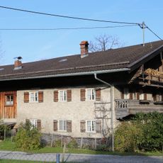
Sudelfeldstraße 42
242 m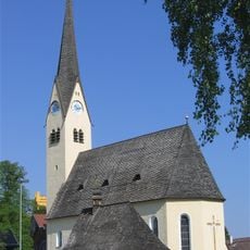
Pfarrkirche Mariä Himmelfahrt
868 m
Dorfstraße 8
918 m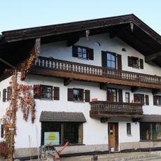
Ehemaliges Bauernhaus
481 m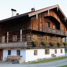
Sudelfeldstraße 8
452 m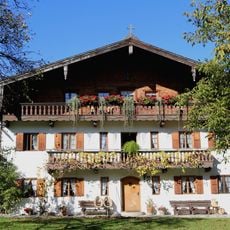
Dorfstraße 4
913 m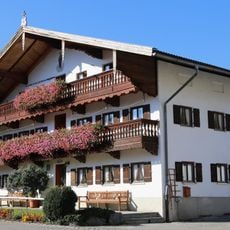
Dorfstraße 2
888 m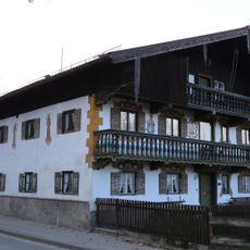
Sudelfeldstraße 36
294 mReviews
Visited this place? Tap the stars to rate it and share your experience / photos with the community! Try now! You can cancel it anytime.
Discover hidden gems everywhere you go!
From secret cafés to breathtaking viewpoints, skip the crowded tourist spots and find places that match your style. Our app makes it easy with voice search, smart filtering, route optimization, and insider tips from travelers worldwide. Download now for the complete mobile experience.

A unique approach to discovering new places❞
— Le Figaro
All the places worth exploring❞
— France Info
A tailor-made excursion in just a few clicks❞
— 20 Minutes