
Bellheimer Wald mit Queichtal, protected area in the European Union defined by the habitats directive in Rheinland-Pfalz, Germany
Location: Bornheim
Location: Essingen
Location: Hochstadt, Rhineland-Palatinate
Location: Zeiskam
Location: Lustadt
Location: Westheim
Location: Lingenfeld
Location: Germersheim
Location: Bellheim
Location: Knittelsheim
Location: Ottersheim bei Landau
Location: Offenbach an der Queich
Location: Landau in der Pfalz
Inception: 2000
GPS coordinates: 49.21751,8.26200
Latest update: June 10, 2025 07:11
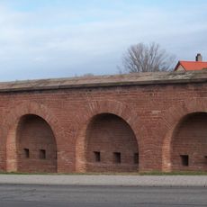
Festung Germersheim
8 km
Rathaus Offenbach an der Queich
5.4 km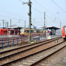
Germersheim station
7.5 km
Komturei Heimbach
3.9 km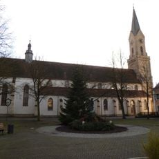
St.-Jakobus-Kirche
7.9 km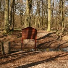
Jagdschloss Friedrichsbühl
2.3 km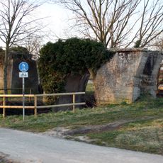
Betonbrücke
5.7 km
Synagogue (Rülzheim)
7 km
Synagoge Germersheim
8 km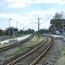
Bellheim station
4 km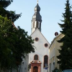
Versöhnungskirche (Germersheim)
8.1 km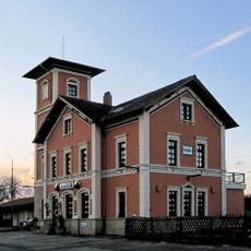
Rülzheim station
6.7 km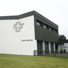
Christ Church
7.5 km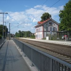
Sondernheim station
7.6 km
Lustadt train station
3 km
Jüdischer Friedhof Rülzheim
6.8 km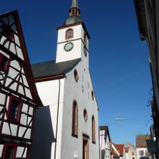
Evangelische Kirche Westheim
5.7 km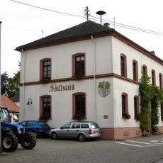
Weingarten Town Hall
5 km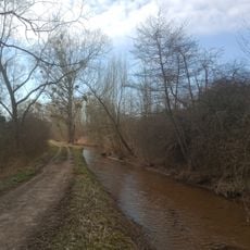
Eichtal-Brand
6 km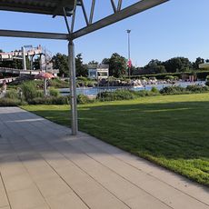
Schwimmpark Bellheim
2.7 km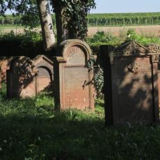
Jüdischer Friedhof Lustadt
4 km
Synagoge
7.2 km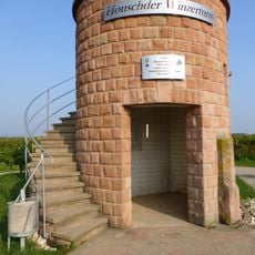
Houschder Winzerturm
5.3 km
Queichtalbad
5.2 km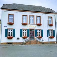
Rheinland-Pfälzisches Storchenzentrum
7.2 km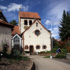
St. Georg (Hördt)
7.8 km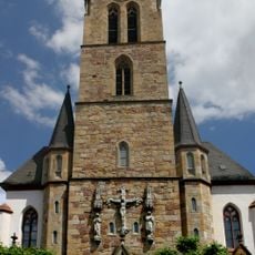
St. Nikolaus (Bellheim)
3.2 km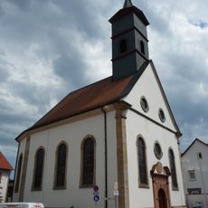
Protestant church
5.9 kmReviews
Visited this place? Tap the stars to rate it and share your experience / photos with the community! Try now! You can cancel it anytime.
Discover hidden gems everywhere you go!
From secret cafés to breathtaking viewpoints, skip the crowded tourist spots and find places that match your style. Our app makes it easy with voice search, smart filtering, route optimization, and insider tips from travelers worldwide. Download now for the complete mobile experience.

A unique approach to discovering new places❞
— Le Figaro
All the places worth exploring❞
— France Info
A tailor-made excursion in just a few clicks❞
— 20 Minutes