
Wälder zwischen Linz und Neuwied, protected area in the European Union defined by the habitats directive in Rheinland-Pfalz, Germany
Location: Linz am Rhein
Location: Dattenberg
Location: Leubsdorf
Location: Bad Hönningen
Location: Rheinbrohl
Location: Datzeroth
Location: Hammerstein
Location: Leutesdorf
Location: Neuwied
Inception: 2003
GPS coordinates: 50.51678,7.38114
Latest update: July 26, 2025 10:19
Ehrenmal des Infanterie-Regiments Nr. 29
4.5 km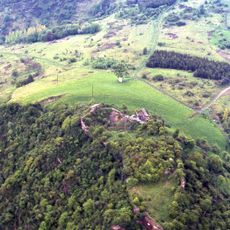
Burg Hammerstein
5.3 km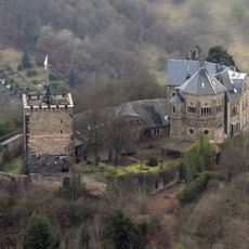
Castle Rheineck
5.4 km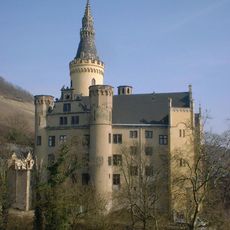
Arenfels Castle
5.3 km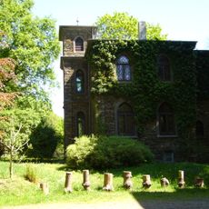
Schloss Monrepos
5.9 km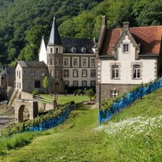
Schloss Brohleck
5.5 km
Monrepos Archäologisches Forschungszentrum
5.9 km
RömerWelt
3.9 km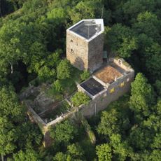
Neuerburg (Wied)
4.6 km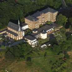
Kloster Marienhaus
4 km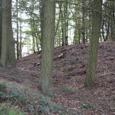
Landwehr
5.5 km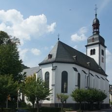
St. Marien
5.9 km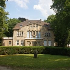
Villa Lucia
5.6 km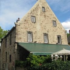
Templerhof
5.6 km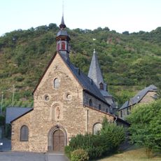
St. George
5.4 km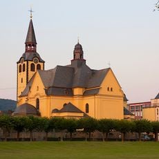
St. Peter und Paul
5.3 km
Saint Suitbert Church
4.1 km
Pont de Wagram
5.3 km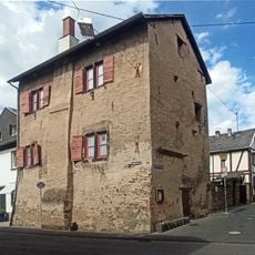
Hohes Haus
5.3 km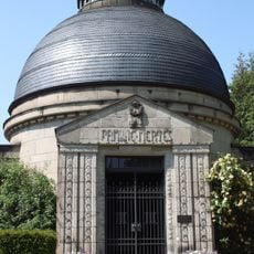
Mausoleum der Familie Mertes
5.8 km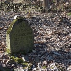
Jüdischer Friedhof Rheineck
5.4 km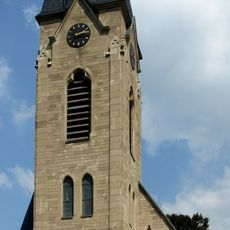
Evangelische Kirche
5.5 km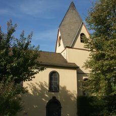
Gertrudenkapelle Rheinbrohl
4.5 km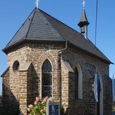
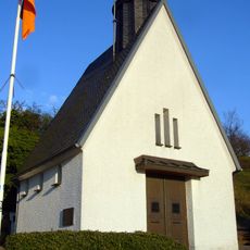
Maria-Hilf-Kapelle
3.9 km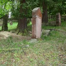
Jüdischer Friedhof (Rheinbrohl)
3.1 km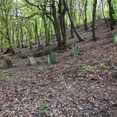
Jüdischer Friedhof
5.3 km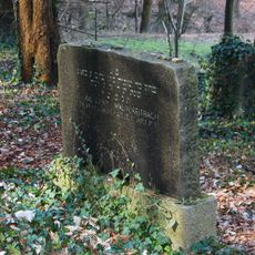
Jüdischer Friedhof
5.1 km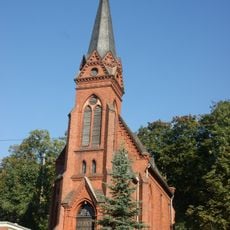
Evangelische Kirche
5.3 kmReviews
Visited this place? Tap the stars to rate it and share your experience / photos with the community! Try now! You can cancel it anytime.
Discover hidden gems everywhere you go!
From secret cafés to breathtaking viewpoints, skip the crowded tourist spots and find places that match your style. Our app makes it easy with voice search, smart filtering, route optimization, and insider tips from travelers worldwide. Download now for the complete mobile experience.

A unique approach to discovering new places❞
— Le Figaro
All the places worth exploring❞
— France Info
A tailor-made excursion in just a few clicks❞
— 20 Minutes