
Barker Heide, protected area in the European Union defined by the habitats directive in Schleswig-Holstein, Germany
Location: Segeberg
Inception: 1999
GPS coordinates: 53.91398,10.15090
Latest update: March 16, 2025 18:51

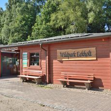
Eekholt Wildlife Park
8.8 km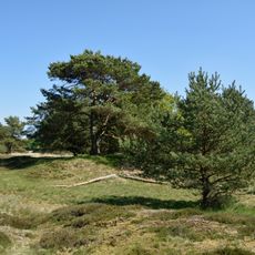
Barker Heide
2 km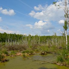
Hasenmoor
9.4 km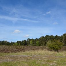
Wittenborner Heide
3.1 km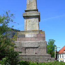
Rantzau-Obelisk
10.1 km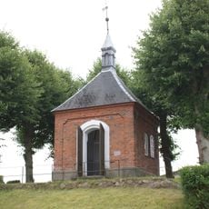
Rantzau-Kapelle
10.2 km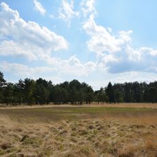
Halloher Moor, Brandsheide und Könster Moor
8.9 km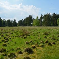
Stellbrookmoor
8 km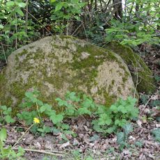
Dolmen von Wittenborn
4.7 km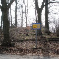
Grabhügel bei Högersdorf-Rotenhahn
6.2 km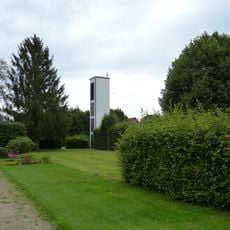
Kapelle / Apostel-Johannes-Kirche
9.3 km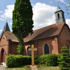
Kirche Leezen
8.3 km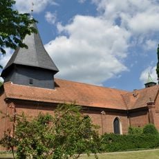
Kirche mit Ausstattung
8.3 km
Brücke über die Trave
8.7 km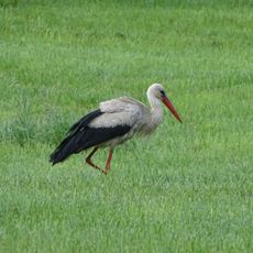
Barker und Wittenborner Heide
2.1 km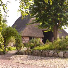
Fachhallenkate
8.7 km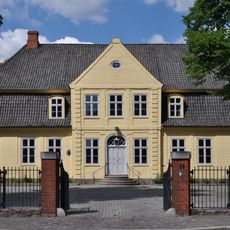
Hamburger Straße 25
10.3 km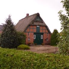
Hauptstraße 9
8.6 km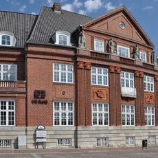
Kurhausstraße 1
10.6 km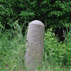
Meilenstein
8.1 km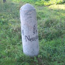
Meilenstein
9 km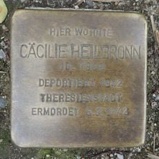
Stolperstein dedicated to Cäcilie Heilbronn
10.5 km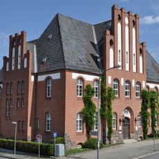
Hamburger Straße 29
10.2 km
Heiderfelder Straße 9
8.3 km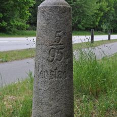
Meilenstein
7.9 km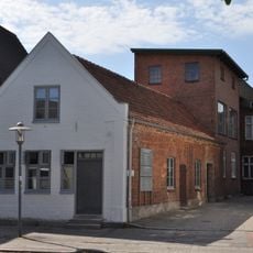
Kurhausstraße 36
10.6 km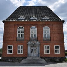
Kreishaus
10.2 km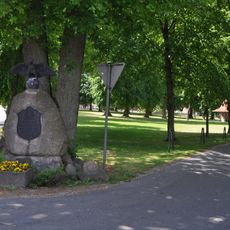
Village green
8 kmReviews
Visited this place? Tap the stars to rate it and share your experience / photos with the community! Try now! You can cancel it anytime.
Discover hidden gems everywhere you go!
From secret cafés to breathtaking viewpoints, skip the crowded tourist spots and find places that match your style. Our app makes it easy with voice search, smart filtering, route optimization, and insider tips from travelers worldwide. Download now for the complete mobile experience.

A unique approach to discovering new places❞
— Le Figaro
All the places worth exploring❞
— France Info
A tailor-made excursion in just a few clicks❞
— 20 Minutes