
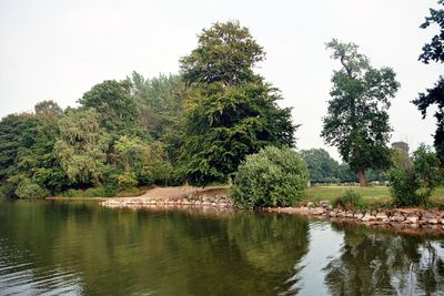
Selenter See, protected area in the European Union defined by the habitats directive in Schleswig-Holstein, Germany
Location: Plön District
Inception: 1999
GPS coordinates: 54.30247,10.44846
Latest update: March 25, 2025 01:11
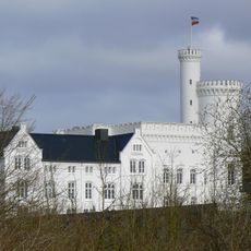
Blomenburg
2.2 km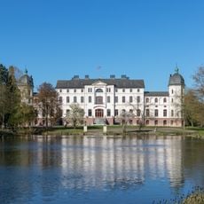
Salzau Manor
5.2 km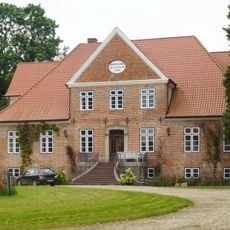
Gut Lammershagen
3.2 km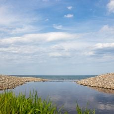
Hohenfelder Mühlenau
6.2 km
Eiszeitmuseum
7.4 km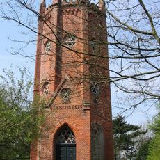
Hessenstein Observation Tower
6.9 km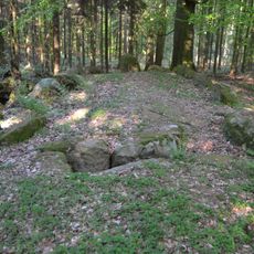
Großsteingrab Panker 1
6.5 km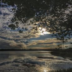
Nordteil des Selenter Sees und Umgebung
2.5 km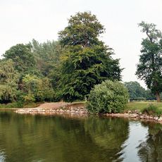
Endmoränengebiet mit Hessenstein zwischen Lütjenburg und Hohenfelde und Umgebung
7.4 km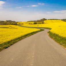
Küsten- und Moränenlandschaft auf dem Gebiet der Gemeinden Hohwacht und Blekendorf bis an die Grenze zum Kreis Ostholstein
7.4 km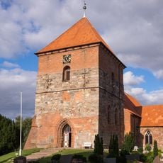
St. Servatiuskirche
1.9 km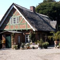
Ehem. Posthaus
2.9 km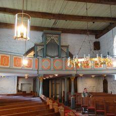
Kirche St. Johannes mit Ausstattung
4.2 km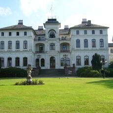
Herrenhaus Salzau
5.2 km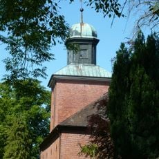
Johanneskirche
4.2 km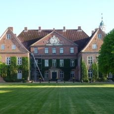
Gutsanlage: Herrenhaus mit Ausstattung
3.4 km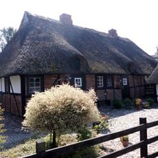
Fischerkate Am See 13 – 17
2.8 km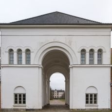
Torhaus
5.2 km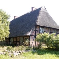
Bauernhaus Bauernreihe 2
2.7 km
Dorfplatz 8
1.9 km
Kate Zum Brook 6
4 km
Ehemalige Wassermühle
2.7 km
Forsthaus
2.8 km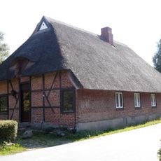
Doppelkate Am See 25
2.7 km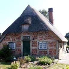
Fischerkate Am See 19
2.8 km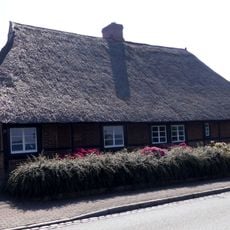
Fischerkate Am See 7 – 9
2.8 km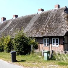
Mehrfamilienkate Zum Brook 11 - 13
4.1 km
Kate Rodehorster Weg 1
2.8 kmReviews
Visited this place? Tap the stars to rate it and share your experience / photos with the community! Try now! You can cancel it anytime.
Discover hidden gems everywhere you go!
From secret cafés to breathtaking viewpoints, skip the crowded tourist spots and find places that match your style. Our app makes it easy with voice search, smart filtering, route optimization, and insider tips from travelers worldwide. Download now for the complete mobile experience.

A unique approach to discovering new places❞
— Le Figaro
All the places worth exploring❞
— France Info
A tailor-made excursion in just a few clicks❞
— 20 Minutes