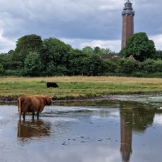
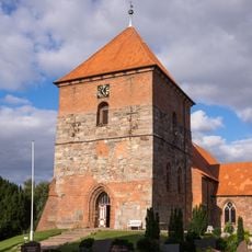
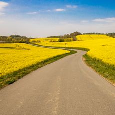
Hohenfelder Mühlenau, Special Area of Conservation near Hohenfelde, Germany.
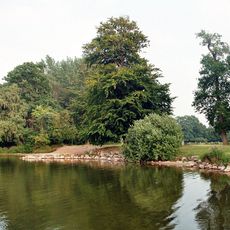
The Hohenfelder Mühlenau is a conservation area in Schleswig-Holstein featuring a stream that runs through diverse habitats. The watercourse displays varying widths and characteristics that support different plant and animal communities.
The standard data sheet was drawn up in June 2004 by Schleswig-Holstein's LLUR, and the site was proposed as a Site of Community Importance in September 2004. The EU confirmed it in November 2007, and national designation as a Special Area of Conservation followed in January 2010. The data sheet was last updated in May 2017, and the management plan was published on 23 September 2016.
The protected area spans the municipalities of Giekau, Köhn, Schwartbuck and Hohenfelde. Its name comes from the Hohenfelder Mühlenau stream, which leaves the Selenter See and reaches the Baltic Sea near the Malmsteg holiday settlement. In Giekau the site also takes in the Pülser Vieh woodland and a wet meadow with many small ponds at Köhnerbrücke.
The protected area stretches 7.8 km north to south, from the Pülsener Bruch forest past the Selenter See outflow to the Baltic Sea mouth near the Malmsteg holiday settlement. The only stretch mapped as a flowing-water habitat is the 240 m between the footbridge at the Mühlenau holiday settlement and the sea. The highest point, 49.5 m above sea level, lies on the western slope at the Pülsener Straße in Selkenrade.
The stream itself is only a tiny part of the protected area: the stretch with floating water vegetation covers 0.6 per mille of the site, and only the 240 metres between the footbridge at the Mühlenau holiday settlement and the Baltic mouth are mapped as that habitat.
The community of curious travelers
AroundUs brings together thousands of curated places, local tips, and hidden gems, enriched daily by 94,594 contributors worldwide.