Motte Luetjenburg
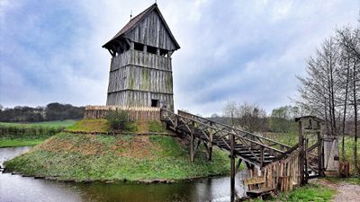
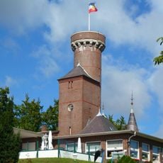
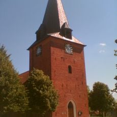
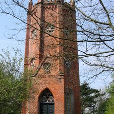
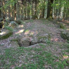
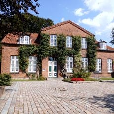
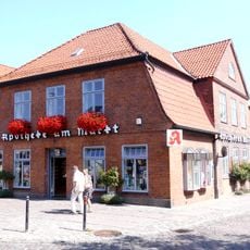
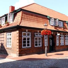
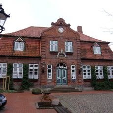
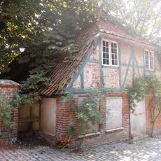
Motte Luetjenburg, Medieval castle and open-air museum in Lütjenburg, Germany.
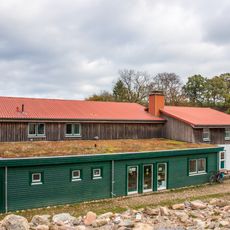
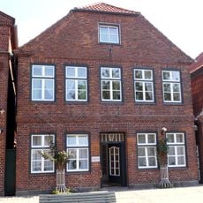
Motte Lütjenburg is a medieval fortified structure built on an artificial earth mound that once housed defensive buildings on its summit. The open-air museum displays reconstructed buildings and detailed explanations of how such strongholds functioned as administrative and military centers.
The motte developed in the early Middle Ages as a common fortification type across northern Germany for controlling trade routes and territories. Over time, noble families used it as a seat of power until the site was eventually abandoned.
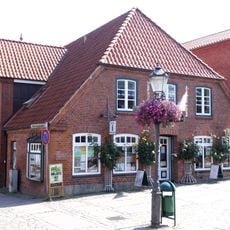
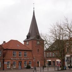
The name Lütjenburg itself comes from this fortification, reflecting its role as a landmark that shaped the area. Walking through the site, you notice how the elevated position allowed those in power to oversee and influence daily movement and commerce in the region.
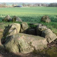
The grounds feature stairs and uneven surfaces throughout, so comfortable shoes and some fitness level are important for getting around. You can explore the entire site comfortably in one to two hours, depending on how long you spend reading the displays.
The reconstructed structures reveal details about daily routines and living conditions rather than just focusing on military strength alone. This hands-on approach helps visitors understand that these fortifications were working communities where ordinary life unfolded.
Location: Lütjenburg
Location: Schleswig-Holstein
Location: Plön District
Accessibility: Wheelchair inaccessible
Address: Nienthal 10, 24321 Lütjenburg
Phone: +491624238167
Website: https://turmhuegelburg.de
GPS coordinates: 54.30146,10.57175
Latest update: December 6, 2025 17:42
Schloss Panker
3 km
Herrenhaus Waterneverstorf
4.3 km
Bismarckturm (Lütjenburg)
1.4 km
St. Michaeliskirche
1.6 km
Eiszeitmuseum
620 m
Hessenstein Observation Tower
3.4 km
Großsteingrab Panker 1
2.4 km
Großsteingräber bei Futterkamp
4.5 km
Kossautal und angrenzende Flächen
3.1 km
Endmoränengebiet mit Hessenstein zwischen Lütjenburg und Hohenfelde und Umgebung
3.7 km
Küsten- und Moränenlandschaft auf dem Gebiet der Gemeinden Hohwacht und Blekendorf bis an die Grenze zum Kreis Ostholstein
3.6 km
Wohnhaus mit Gewerbe
1.5 km
Kirche St. Michaelis
1.6 km
Kirche St. Johannes mit Ausstattung
4.6 km
Johanneskirche
4.6 km
Wehdenstraße 14
1.6 km
Wohn- und Geschäftshaus Markt 24
1.6 km
Fachwerk-Giebelhaus Markt 12
1.4 km
Wohnhaus Markt 2
1.6 km
Apotheke
1.6 km
Ehem. Kornbrennerei: mehrgeschossige Brennerei
1.5 km
Wohn- und Geschäftshaus
1.4 km
Townhall Lütjenburg
1.5 km
Alter Posthof: südliches Vorgebäude
1.3 km
Wohnhaus Neuwerkstraße 7
1.4 km
Wohn- und Geschäftshaus (Kornbrennerei)
1.5 km
Wohn- und Geschäftshaus
1.5 km
Fachwerkhaus (Kornbrennerei)
1.5 kmVisited this place? Tap the stars to rate it and share your experience / photos with the community! Try now! You can cancel it anytime.
Discover hidden gems everywhere you go!
From secret cafés to breathtaking viewpoints, skip the crowded tourist spots and find places that match your style. Our app makes it easy with voice search, smart filtering, route optimization, and insider tips from travelers worldwide. Download now for the complete mobile experience.
A unique approach to discovering new places❞
— Le Figaro
All the places worth exploring❞
— France Info
A tailor-made excursion in just a few clicks❞
— 20 Minutes