
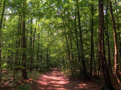
Forst Dianenslust und Stadtwald Schweinfurt, protected area in the European Union defined by the habitats directive in Bayern, Germany
Location: Schweinfurt
Location: Schweinfurt
Inception: 2004
GPS coordinates: 50.07822,10.25565
Latest update: March 4, 2025 13:06
Benediktinerkloster Schweinfurt
2.2 km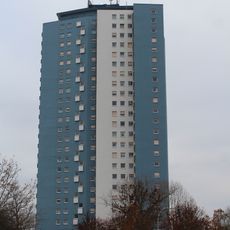
Blaues Hochhaus Schweinfurt
1.9 km
St. Lukas
2.5 km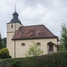
St. Matthew (Zell)
2 km
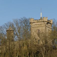
Burg
3 km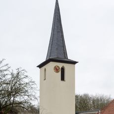
Kirchturm
2.6 km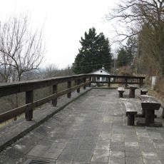
Landschaftsschutz der Mainleite im Bereich der Stadt Schweinfurt und des Landkreis Schweinfurt
2.5 km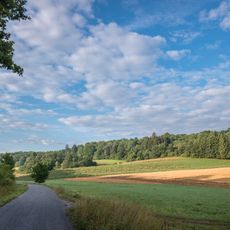
LSG Weipoltshäuser- und Jeusing-Grund
2.9 km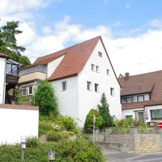
Wohnhaus
3.2 km
Krankenhaus
3.2 km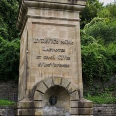
Ludwigsbrunnen
2.6 km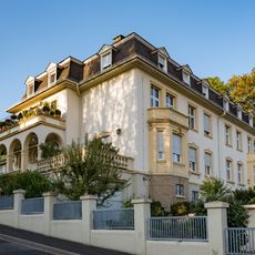
Villa
3.2 km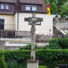
Friedhofskreuz
3.2 km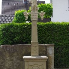
Bildstock
3.3 km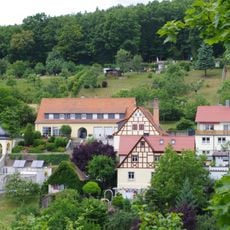
Schulgebäude
3.2 km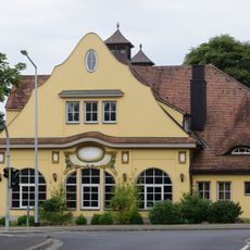
Brauereigaststätte
3.2 km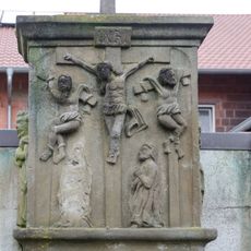
Bildstockaufsatz
2.5 km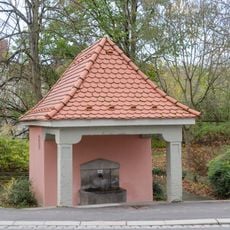
Brunnen
3.2 km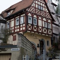
Wohnhaus
3.2 km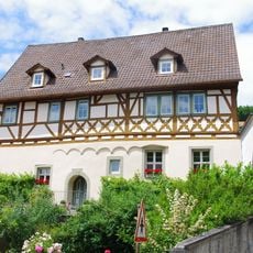
Wohnhaus
3.3 km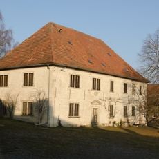
Gutsanlage
942 m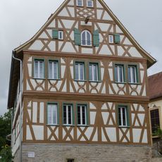
Pfarrhaus
2 km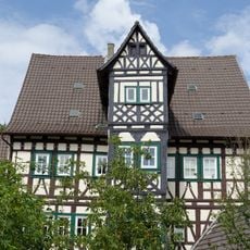
Wohnhaus
3.3 km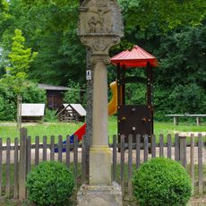
Bildstock
3.2 km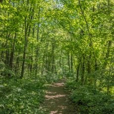
Dianenslust
2.6 km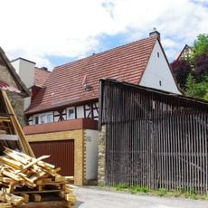
Wohnhaus
3.3 km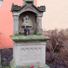
Bildhäuschen
2.5 km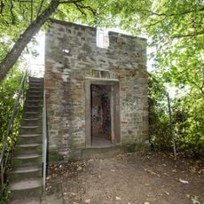
Aussichtsturm
2.8 kmVisited this place? Tap the stars to rate it and share your experience / photos with the community! Try now! You can cancel it anytime.
Discover hidden gems everywhere you go!
From secret cafés to breathtaking viewpoints, skip the crowded tourist spots and find places that match your style. Our app makes it easy with voice search, smart filtering, route optimization, and insider tips from travelers worldwide. Download now for the complete mobile experience.

A unique approach to discovering new places❞
— Le Figaro
All the places worth exploring❞
— France Info
A tailor-made excursion in just a few clicks❞
— 20 Minutes