
Haidenaabtal und Gabellohe, protected area in the European Union defined by the habitats directive in Bayern, Germany
Location: Tirschenreuth
Location: Bayreuth
Inception: 2000
GPS coordinates: 49.89186,11.84528
Latest update: March 9, 2025 16:29

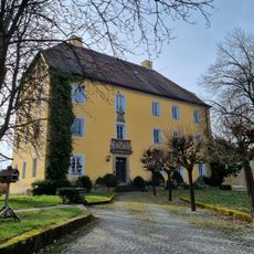
Schloss Göppmannsbühl
2.3 km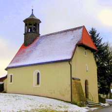
St. Helena
3.1 km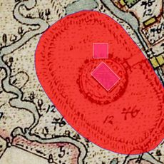
Schloss Schlackenhof
3.6 km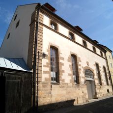
Brauhausstraße 9, Schützengraben 21
3.8 km
Katholische Filialkirche Sankt Georg
3.3 km
Altes Rathaus
3.9 km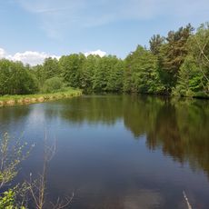
Hirschberg- und Heidweiher in der Gabellohe
1.1 km
Friedhofskirche Sankt Maria Magdalena
3.7 km
Grabenkirche
3.8 km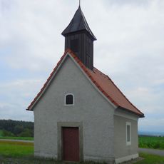
Ortskapelle
3.4 km
Stadtplatz 24, 26
3.9 km
Brunnen
3.9 km
Trautenbergstraße 8
3.9 km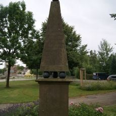
Denkmal für die Gefallenen des Deutsch-Französischen Krieges von 1870/71
3.9 km
Doppelhaus
2.4 km
Schmidtstraße 17
3.9 km
Schmidtstraße 15
3.9 km
Bayreuther Straße 3
3.8 km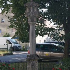
Bildstock
3.8 km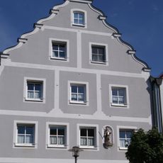
Hausfigur des heiligen Primianus
4 km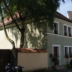
Trautenbergstraße 6
3.9 km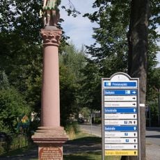
Bildstock
3.8 km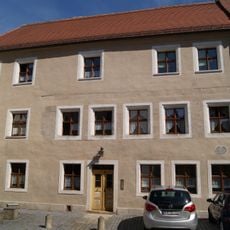
Schmidtstraße 19
3.9 km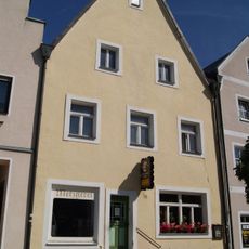
Stadtplatz 37
3.9 km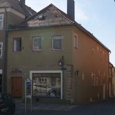
Stadtplatz 30
3.9 km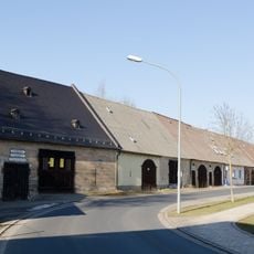
Scheunenviertel
3.6 km
Zugehöriges Reststück der Zwingermauer
3.8 km
Bildstock
3.9 kmReviews
Visited this place? Tap the stars to rate it and share your experience / photos with the community! Try now! You can cancel it anytime.
Discover hidden gems everywhere you go!
From secret cafés to breathtaking viewpoints, skip the crowded tourist spots and find places that match your style. Our app makes it easy with voice search, smart filtering, route optimization, and insider tips from travelers worldwide. Download now for the complete mobile experience.

A unique approach to discovering new places❞
— Le Figaro
All the places worth exploring❞
— France Info
A tailor-made excursion in just a few clicks❞
— 20 Minutes