Enable Location

We need your location to show you interesting places around you

Discover nearby places

Find interesting locations and hidden gems around you

Precise directions

Get accurate directions and distances to places

Your location is never shared with other users. It's only used when you tap the location button.

Tirschenreuth

Log in to your account

Start exploring — it's free

Trusted by 63,034 travelers worldwide

Continue with Google
Continue with Apple
or

We will send you a code to connect

By continuing, you accept our Terms and Conditions and our Privacy Policy

Check your inbox

We've sent a pincode in your inbox. Please enter the code below.

Discussion Reviews 1 Photos
32.8k Popularity

Tirschenreuth, Administrative district in northern Bavaria, Germany.

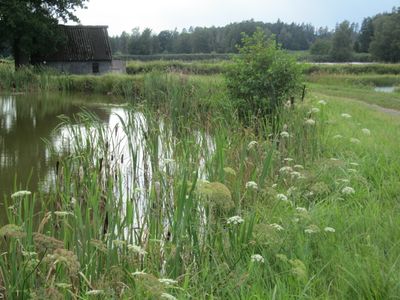
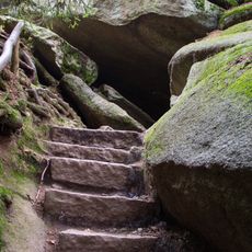
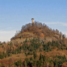
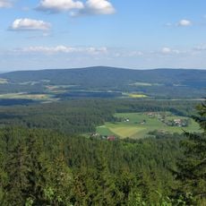
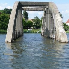
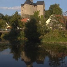
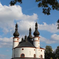
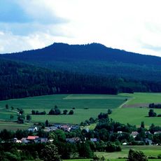
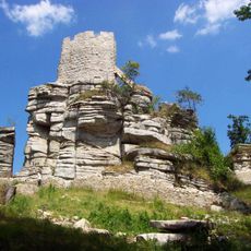
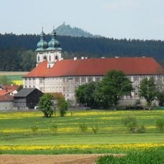
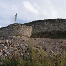
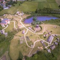
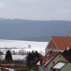
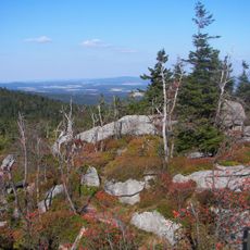
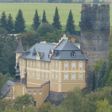
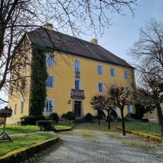
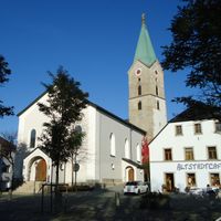
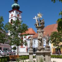
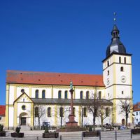
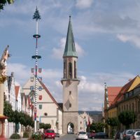
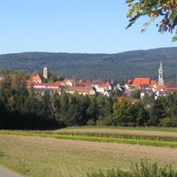
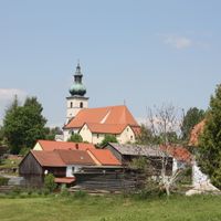
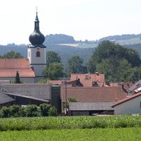
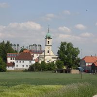
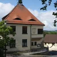
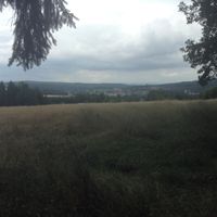
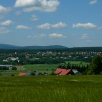
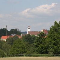
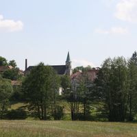
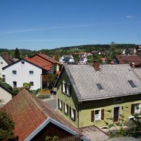
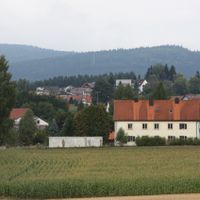
Tirschenreuth is an administrative district in Upper Palatinate that encompasses rolling hills dotted with small towns and villages. The territory borders the Czech Republic directly and features forests and farmland throughout the landscape.

The district took its current form through an administrative reorganization that merged several older administrative regions into one unified territory. This restructuring combined areas with different historical backgrounds into a single administrative entity.

The district maintains multiple international connections through partnerships with cities in France, Czech Republic, Germany, and the United States.

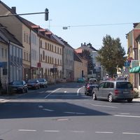
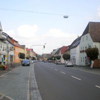
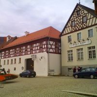
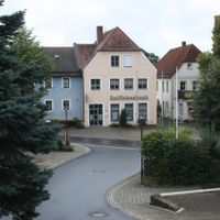
The main towns are relatively close together and easily accessible by car throughout the district. Visitors exploring the region should have access to a vehicle or arrange local transportation to move between communities.

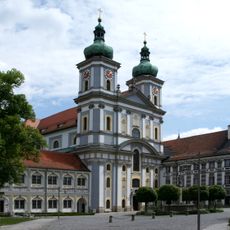
The district coat of arms combines a golden lion representing the Electorate of the Palatinate with a red dragon symbolizing Waldsassen Abbey.

The community of curious travelers

AroundUs brings together thousands of curated places, local tips, and hidden gems, enriched daily by 60,000 contributors worldwide.

Start exploring
Location
Inception
July 1, 1862
Capital city
Tirschenreuth
Elevation above the sea
499 m
Shares border with
Tachov District, Cheb District, Neustadt an der Waldnaab, Wunsiedel, Bayreuth
GPS coordinates
49.90000,12.20000
Latest update
December 20, 2025 00:07
Reviews
Share your experience

No review yet

Discussions
Start a discussion...

No discussion yet

« Tirschenreuth - Administrative district in northern Bavaria, Germany » is provided by Around Us (aroundus.com). Images and texts are derived from Wikimedia project under a Creative Commons license. You are allowed to copy, distribute, and modify copies of this page, under the conditions set by the license, as long as this note is clearly visible.

Discover hidden gems everywhere you go!

From secret cafés to breathtaking viewpoints, skip the crowded tourist spots and find places that match your style. Our app makes it easy with voice search, smart filtering, route optimization, and insider tips from travelers worldwide. Download now for the complete mobile experience.

Around Us App Screenshot

A unique approach to discovering new places

Le Figaro

All the places worth exploring

France Info

A tailor-made excursion in just a few clicks

20 Minutes

Around Us
Travel Guide & Maps
Download

Send to your phone

QR Code
1

Open the camera app on your mobile.

2

Point at the QR code with your camera. A notification will appear.

3

Tap the notification to open the link.