
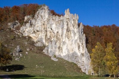
Mittleres Altmühltal mit Wellheimer Trockental und Schambachtal
Mittleres Altmühltal mit Wellheimer Trockental und Schambachtal, protected area in the European Union defined by the habitats directive in Bayern, Germany
Location: Weißenburg-Gunzenhausen
Location: Eichstätt
Location: Neuburg-Schrobenhausen
Inception: 2004
GPS coordinates: 48.91786,11.22494
Latest update: March 9, 2025 16:25
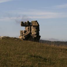
Figurenfeld Alois Wünsche-Mitterecker
3.5 km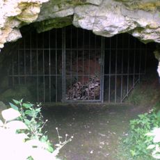
Mammuthöhle Buchenhüll
3.2 km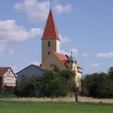
St. Sixtus
3.6 km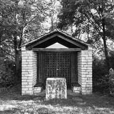
Bruder-Klaus-Kapelle
3.6 km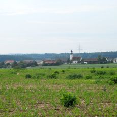
Wallfahrtskirche Mariä Himmelfahrt
1.5 km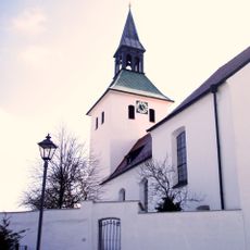
Sankt Brigida
1.7 km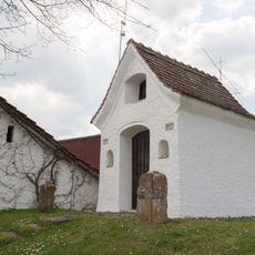
Lüftenkapelle Eichstätt
2.4 km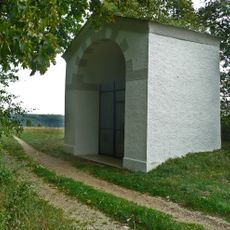
Henkerskapelle
3.3 km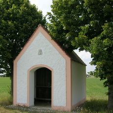
Feldkapelle Ziegelhof
2.4 km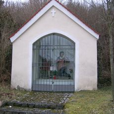
Kapelle Mariä Urlaub
3.4 km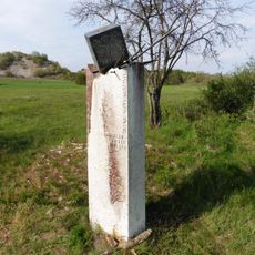
Memorial to the victims of the Eichstätt witch trials
3.4 km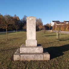
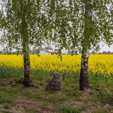
Gedenkstein
2 km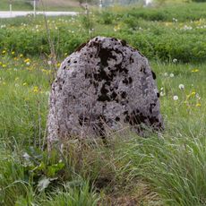
Kreuzstein Ziegelhof-Wimpasing
2.3 km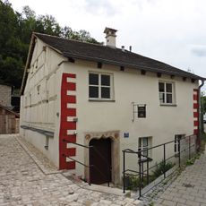
Rot-Kreuz-Gasse 17
3.7 km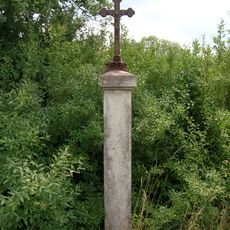
Vogelbauernkreuz
3.1 km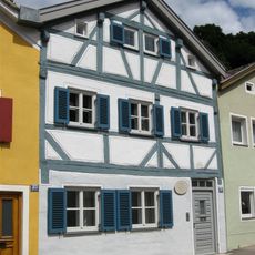
Buchtal 25
3.7 km
Sankt Brigida
1.7 km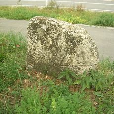
Kreuzstein Staatsstraße 2225
1.9 km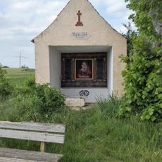
Kreuzstein Stadtweg
1.7 km
Kreuzstein links der Lüftenkapelle
2.4 km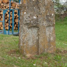
Kreuzstein rechts der Lüftenkapelle
2.4 km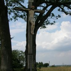
Wegkreuz Lüftenkapelle
2.3 km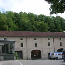
Ökonomiegebäude
3.6 km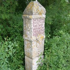
Bildstock Wintershof
3 km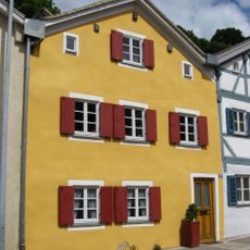
Wohnhaus
3.7 km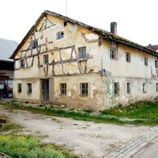
Wohnstallhaus
3.5 km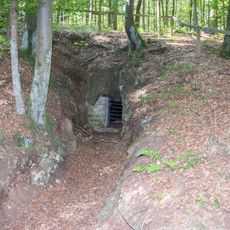
Fledermauswinterquartiere in der südlichen Frankenalb
2.2 kmVisited this place? Tap the stars to rate it and share your experience / photos with the community! Try now! You can cancel it anytime.
Discover hidden gems everywhere you go!
From secret cafés to breathtaking viewpoints, skip the crowded tourist spots and find places that match your style. Our app makes it easy with voice search, smart filtering, route optimization, and insider tips from travelers worldwide. Download now for the complete mobile experience.

A unique approach to discovering new places❞
— Le Figaro
All the places worth exploring❞
— France Info
A tailor-made excursion in just a few clicks❞
— 20 Minutes