
Moore im Bereich Sonnen-Wegscheid mit Abschnitten des Rannatals
Moore im Bereich Sonnen-Wegscheid mit Abschnitten des Rannatals, protected area in the European Union defined by the habitats directive in Bayern, Germany
Location: Passau
Inception: 2004
GPS coordinates: 48.65062,13.76157
Latest update: October 5, 2025 20:38
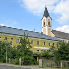
Church of St Raymond of Penyafort
6.4 km
Staffelberg
8.1 km
Rothmühlkapelle
7 km
Friedrichsberg
2.6 km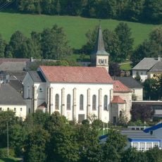
St.Anna (Julbach im Mühlviertel)
7.8 km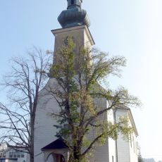
Saint Joseph church in Kollerschlag
7.8 km
Gmuihäuseln
7.9 km
Pfarrkirche Wildenranna
8 km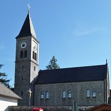
Katholische Pfarrkirche Unbefleckte Empfängnis Mariä
2.1 km
Sieben Schmerzen Mariens
8 km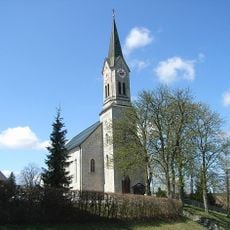
Pfarrkirche Maria Himmelfahrt
4.6 km
Chapel in Kasberg
3.4 km
St. Johannes der Täufer
5.8 km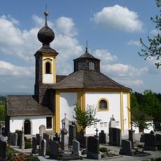
Saint Anne chapel in Wegscheid
5.9 km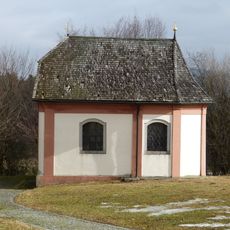
Wasserkapelle in Wegscheid
5.9 km
Waid
8.4 km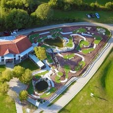
Böhmerwaldpark
8.1 km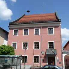
Rathaus, ehemaliges Landgericht
5.8 km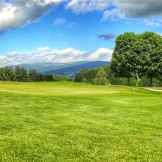
Golfpark Böhmerwald
7.7 km
Kapelle Vorderschiffl
7 km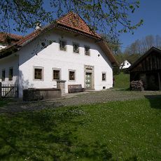
Ehemals Bauernhaus
6.3 km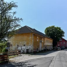
Wohnhaus Anna Sonnleitner
7.8 km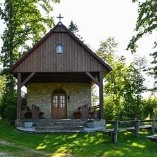
Fatima-Kapelle
8.1 km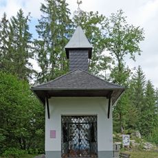
Kalvarienberg
8.1 km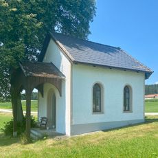
Kapelle bei Hinteranger 53
7.9 km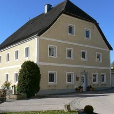
Pfarrhof
7.7 km
Linde in Julbach
7.9 km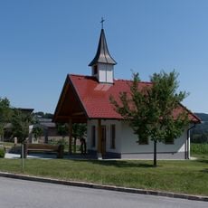
Kapelle Nebelberg
6.7 kmReviews
Visited this place? Tap the stars to rate it and share your experience / photos with the community! Try now! You can cancel it anytime.
Discover hidden gems everywhere you go!
From secret cafés to breathtaking viewpoints, skip the crowded tourist spots and find places that match your style. Our app makes it easy with voice search, smart filtering, route optimization, and insider tips from travelers worldwide. Download now for the complete mobile experience.

A unique approach to discovering new places❞
— Le Figaro
All the places worth exploring❞
— France Info
A tailor-made excursion in just a few clicks❞
— 20 Minutes