
Barnstorfer Huntetal, protected landscape in Lower Saxony, Germany
Location: Diepholz
Inception: 1967
GPS coordinates: 52.71660,8.49749
Latest update: May 17, 2025 03:37
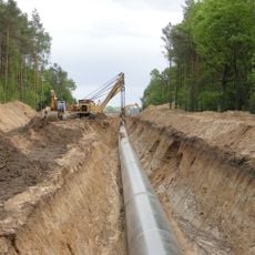
NEL pipeline
10.9 km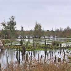
Goldenstedter Moor
7.2 km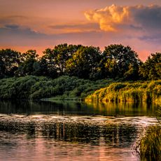
Großes Meer
9 km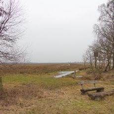
Freistätter Moor
12 km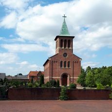
Martin-Luther-Kirche
8.7 km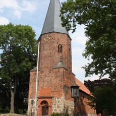
St.-Veit-Kirche
678 m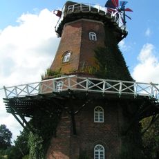
Barver Windmühle
11.4 km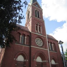
St. Gorgonius (Goldenstedt)
9 km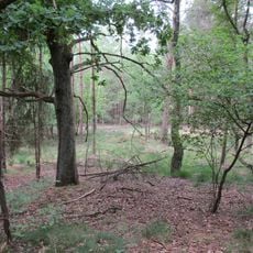
Entenpool
8.5 km
Nördliches Wietingsmoor
10.4 km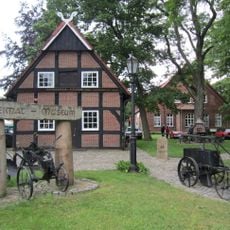
Heimatmuseum Aschen
12 km
Nördliches und Mittleres Wietingsmoor, Freistätter Moor und Sprekelsmeer
11.2 km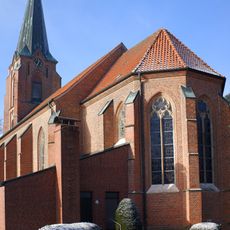
Saint James the Greater Church
11.5 km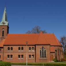
Kirche Rehden
11.9 km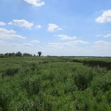
Boller Moor und Lange Lohe
11 km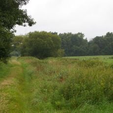
Drebbersches Moor
10 km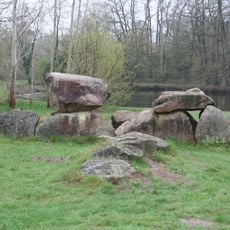
Ganggrab von Düste
517 m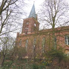
St. Marien
11.9 km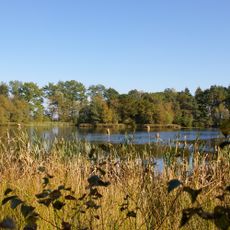
Sprekelsmeer
9.5 km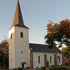
Kirche Heiligenloh
7 km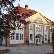
Schule Am Markt
8.8 km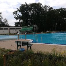
Freibad Barnstorf
1.1 km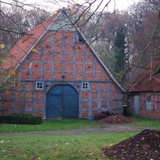
Wohn- und Wirtschaftsgebäude Lerchenhausen 4
8.8 km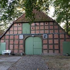
Wohn-/Wirtschaftsgebäude Heiligenloh
7.1 km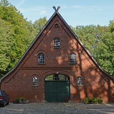
Speicher Lerchenhausen 1
8.8 km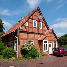
Wohnhaus Kirchstraße 3
11.9 km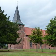
St. Marien und Pankratius
9 km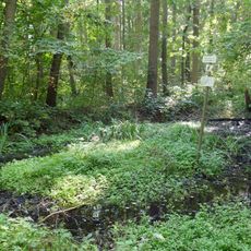
Tal des Goldenstedter Mühlenbaches
9.6 kmReviews
Visited this place? Tap the stars to rate it and share your experience / photos with the community! Try now! You can cancel it anytime.
Discover hidden gems everywhere you go!
From secret cafés to breathtaking viewpoints, skip the crowded tourist spots and find places that match your style. Our app makes it easy with voice search, smart filtering, route optimization, and insider tips from travelers worldwide. Download now for the complete mobile experience.

A unique approach to discovering new places❞
— Le Figaro
All the places worth exploring❞
— France Info
A tailor-made excursion in just a few clicks❞
— 20 Minutes