
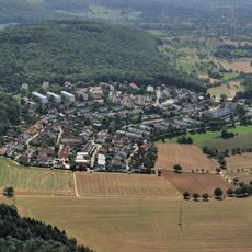
Südwestlicher Dinkelberg, protected landscape area in Baden-Württemberg, Germany
Location: Lörrach
Inception: 2013
GPS coordinates: 47.57480,7.71080
Latest update: June 7, 2025 05:56
Eiserne Hand
3.2 km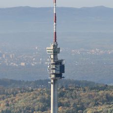
Swisscom-Sendeturm St. Chrischona
1.8 km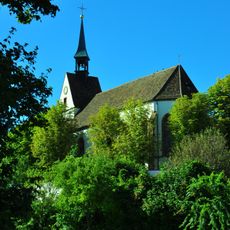
St. Chrischona
2.3 km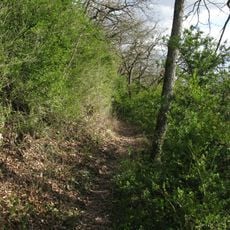
Buchswald bei Grenzach
3.5 km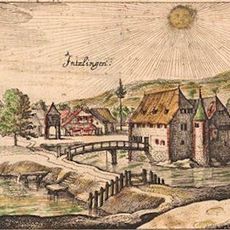
Inzlingen Castle
1.7 km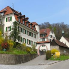
Himmelspforte Wyhlen
2.7 km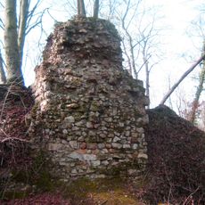
Burgruine Hertenberg
2.4 km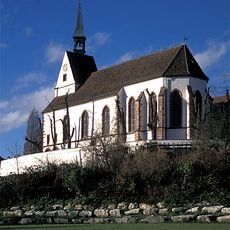
Reformed Chrischona church
2.3 km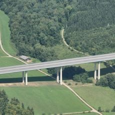
Dultenaugrabenbrücke
2.4 km
Burg Strenger Felsen
3.4 km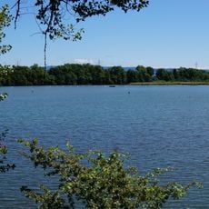
Altrhein Wyhlen
3.6 km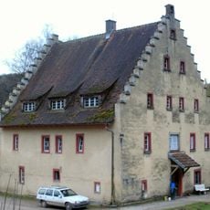
Hagenbacher Hof
1.9 km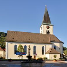
St. Urban
2.6 km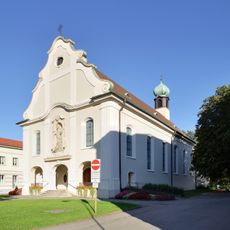
St. Josef
2.6 km
Saint George church in Grenzach-Wyhlen
3.4 km
Ruschbachtal
2.5 km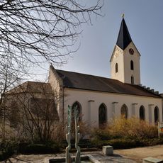
Catholic church Inzlingen
1.9 km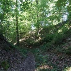
Ruine Hirschenleck
2.1 km
Rührberg Rührberger Hof
740 m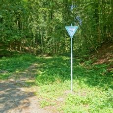
Leuengraben
2.2 km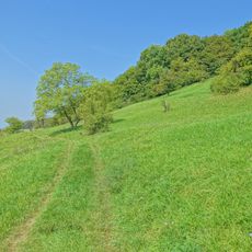
Buttenberghalde
2.2 km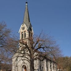
Church of Peace
3.1 km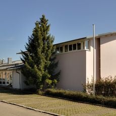
Petruskirche
2.9 km
Wälder bei Wyhlen
3 km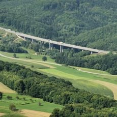
Holzmatttalbrücke
2.4 km
Kiesgrube Weberalten
3.7 km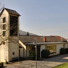
Protestant church Inzlingen
2.1 km
Eigenturm
2 kmReviews
Visited this place? Tap the stars to rate it and share your experience / photos with the community! Try now! You can cancel it anytime.
Discover hidden gems everywhere you go!
From secret cafés to breathtaking viewpoints, skip the crowded tourist spots and find places that match your style. Our app makes it easy with voice search, smart filtering, route optimization, and insider tips from travelers worldwide. Download now for the complete mobile experience.

A unique approach to discovering new places❞
— Le Figaro
All the places worth exploring❞
— France Info
A tailor-made excursion in just a few clicks❞
— 20 Minutes