
LSG-Eigen, protected area in Germany
Location: Bottrop
Inception: 1992
GPS coordinates: 51.53981,6.92284
Latest update: September 26, 2025 16:02
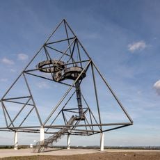
Tetrahedron in Bottrop
2.9 km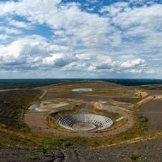
Halde Haniel
3.4 km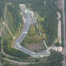
Alpincenter Bottrop
2.8 km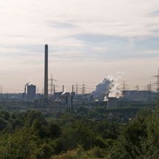
Zeche Prosper
3.8 km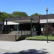
Quadrat Bottrop
1 km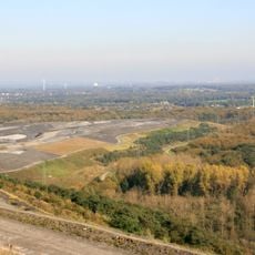
Halde Schöttelheide
3.4 km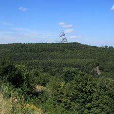
Spoil tip Beckstrasse
2.9 km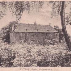
Haus Knippenburg
3.6 km
Zeche Arenberg-Fortsetzung
3 km
Solebad Vonderort
3.8 km
Wasserschloß Wittringen
4.6 km
St. Cyriac Church
2.1 km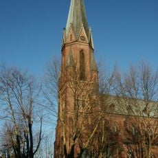
Liebfrauenkirche (Bottrop)
616 m
Köllnischer Wald - FFH
2.5 km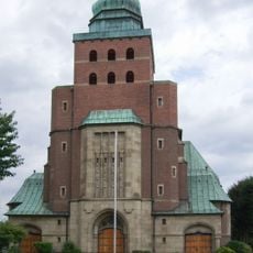
St.-Joseph-Kirche
1.7 km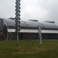
Dieter-Renz-Halle
1.6 km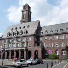
Rathaus Bottrop
1.7 km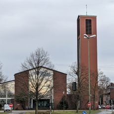
St. Pius
723 m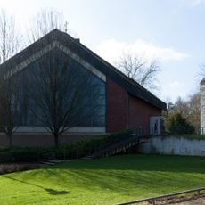
Heilige Familie
4.2 km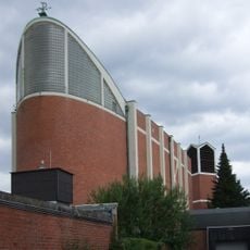
Heilig-Kreuz
1.7 km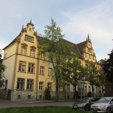
Amtsgericht Bottrop
1.6 km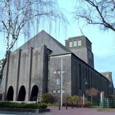
St. Ludgerus Church
2.5 km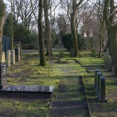
Jüdischer Friedhof
3 km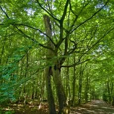
Kölnischer Wald
1.7 km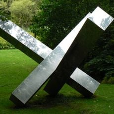
Einheit aus drei gleichen Volumen
999 m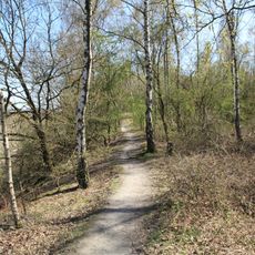
Halde Rheinbaben
2.8 km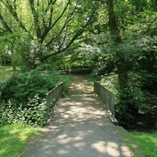
LSG Klosterhardt - Elpenbachtal
3.3 km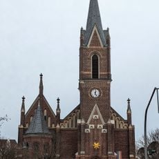
Martinskirche
1.9 kmReviews
Visited this place? Tap the stars to rate it and share your experience / photos with the community! Try now! You can cancel it anytime.
Discover hidden gems everywhere you go!
From secret cafés to breathtaking viewpoints, skip the crowded tourist spots and find places that match your style. Our app makes it easy with voice search, smart filtering, route optimization, and insider tips from travelers worldwide. Download now for the complete mobile experience.

A unique approach to discovering new places❞
— Le Figaro
All the places worth exploring❞
— France Info
A tailor-made excursion in just a few clicks❞
— 20 Minutes