
Stadtwald, Landschaftsschutzgebiet in Nordrhein-Westfalen, eines von drei gleichnamigen Gebieten b
Location: Essen
Inception: 1992
GPS coordinates: 51.41569,7.01586
Latest update: October 18, 2025 06:23
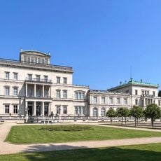
Villa Hügel
1.1 km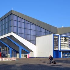
Grugahalle
2.1 km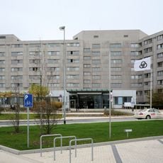
Alfried Krupp Hospital
1.3 km
Neue Isenburg
1.2 km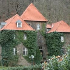
Schloss Baldeney
1 km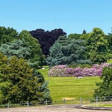
Hügelpark (Essen)
1.2 km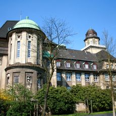
Goetheschule
2 km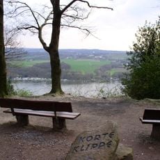
Korte-Klippe
2 km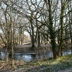
Haus Vittinghoff
1.1 km
Jagdhaus Schellenberg
1.6 km
Parkhaus Hügel
1.5 km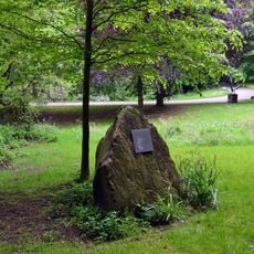
Montagsloch
1.8 km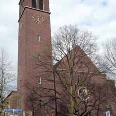
St. Ludgeruskirche
2.1 km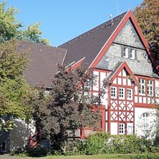
Pfründnerhäuser
1.3 km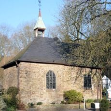
Klusenkapelle St. Ägidius (Essen)
307 m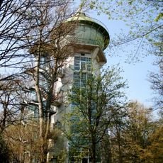
Wasserturm Bredeney
2.1 km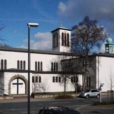
St.-Markus-Kirche
1.4 km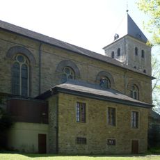
St. Lambertus
2 km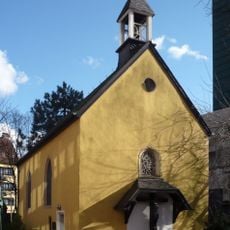
Siechenkapelle
2.2 km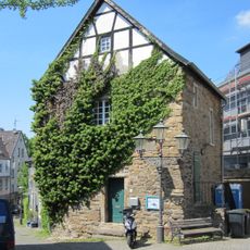
Blücherturm
2 km
Olympiastützpunkt Rhein-Ruhr
1.2 km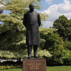
Monument to Friedrich Alfred Krupp
1 km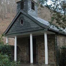
Schlosskapelle St. Maria Magdalena
993 m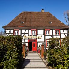
Restaurant Kockshusen
2.2 km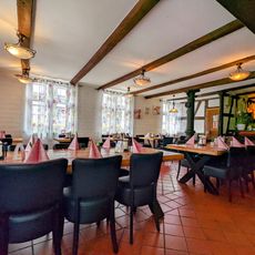
Blücherturm
2 km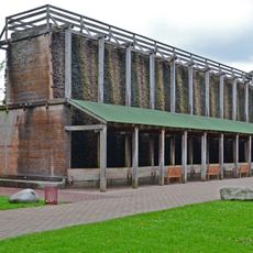
Gradierwerk
2.3 km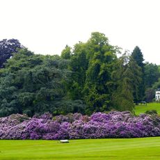
LSG-Parkanlage der Villa Hügel
1.1 km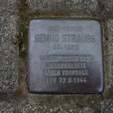
Stolperstein dedicated to Benno Strauß
1.3 kmReviews
Visited this place? Tap the stars to rate it and share your experience / photos with the community! Try now! You can cancel it anytime.
Discover hidden gems everywhere you go!
From secret cafés to breathtaking viewpoints, skip the crowded tourist spots and find places that match your style. Our app makes it easy with voice search, smart filtering, route optimization, and insider tips from travelers worldwide. Download now for the complete mobile experience.

A unique approach to discovering new places❞
— Le Figaro
All the places worth exploring❞
— France Info
A tailor-made excursion in just a few clicks❞
— 20 Minutes