Essen

Log in to your account

AroundUs is a community-driven map of interesting places, built by curious explorers like you. It grows with every review, story, and photo you share.
Connect to save your favorite spots, contribute locations, and create personalized routes.
Continue with Google
Continue with Apple
Continue with X
Continue with Facebook
Continue with email
By continuing, you accept our Terms and Conditions and our Privacy Policy
Create an account
Add to collection
Map
Suggest a change
Share

Essen, Metropolitan area in North Rhine-Westphalia, Germany.

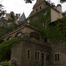
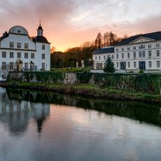
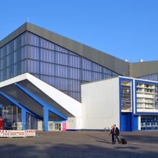
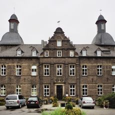
Essen is a large city in the Ruhr area in North Rhine-Westphalia, Germany, spreading across a hilly landscape with forested areas to the south and denser neighborhoods to the north. Streets run through former industrial sites, residential districts with brick buildings, and modern business centers concentrated around the central station and Kettwiger Straße.

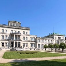
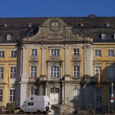
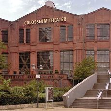
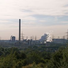
From a settlement near an abbey in the year 845, the town grew into a center of mining and steel production after coal deposits were discovered in the 19th century. With the decline of heavy industry in the 1980s, the city shifted toward administration and services.

In the pubs of the old town and the cafés around Rüttenscheider Stern, locals gather after work, often with currywurst and regional beers. Market halls like the one in Rüttenscheid showcase local produce and become social meeting points on weekends.

The public transport network with tram, commuter trains, and buses connects all districts and allows orientation along central lines and main junctions. Signage and digital displays at stops help visitors navigate, especially those without prior knowledge.

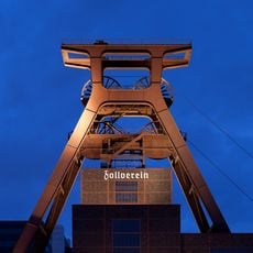
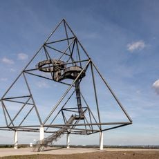
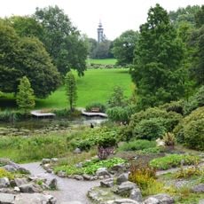
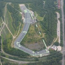
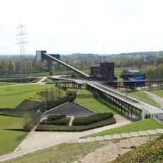
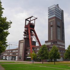
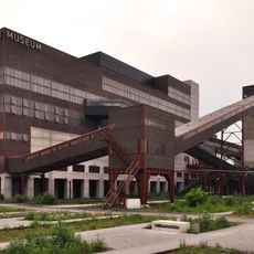
The Grugapark covers over 60 hectares with themed gardens, playgrounds, and artworks recalling postwar regional exhibitions. Nearby stands the site of the former Zollverein colliery, where visitors encounter headframes, engine halls, and coal bunkers that now house museums and cultural spaces.

Location: Düsseldorf Government Region

Elevation above the sea: 116 m

Part of: Regionalverband Ruhr

Shares border with: Ennepe-Ruhr-Kreis, Oberhausen, Mülheim an der Ruhr, Mettmann, Bochum, Gelsenkirchen, Recklinghausen, Bottrop, Velbert, Heiligenhaus, Gladbeck

Website: https://essen.de

GPS coordinates: 51.45083,7.01306

Latest update: December 14, 2025 21:23

Photos
Reviews

Visited this place? Tap the stars to rate it and share your experience / photos with the community! Try now! You can cancel it anytime.

« Essen - Metropolitan area in North Rhine-Westphalia, Germany » is provided by Around Us (aroundus.com). Images and texts are derived from Wikimedia project under a Creative Commons license. You are allowed to copy, distribute, and modify copies of this page, under the conditions set by the license, as long as this note is clearly visible.

Discover hidden gems everywhere you go!

From secret cafés to breathtaking viewpoints, skip the crowded tourist spots and find places that match your style. Our app makes it easy with voice search, smart filtering, route optimization, and insider tips from travelers worldwide. Download now for the complete mobile experience.

Around Us App Screenshot

A unique approach to discovering new places

Le Figaro

All the places worth exploring

France Info

A tailor-made excursion in just a few clicks

20 Minutes