
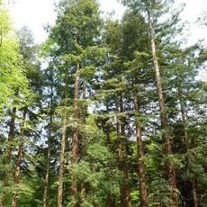
Brachter Wald, forest reserves in Germany
Location: Viersen
Inception: 1990
GPS coordinates: 51.29413,6.14835
Latest update: April 11, 2025 15:58
Sequoiafarm Kaldenkirchen
2.3 km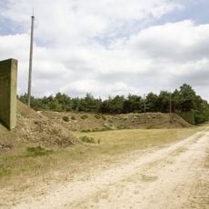
Ammunition depot Brüggen-Bracht
3.2 km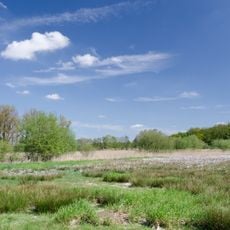
Maas-Schwalm-Nette Nature Park
2.8 km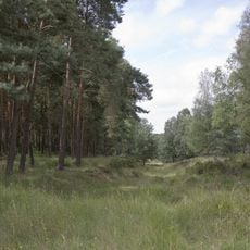
Brachter Wald
3.3 km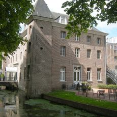
Holtmühle Castle
4.2 km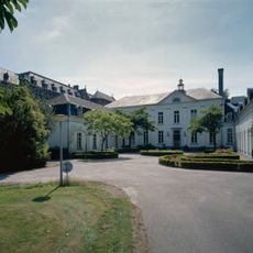
Saint Joseph Monastry Villa Moubis
4.4 km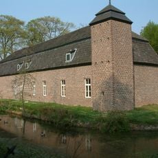
Keramiekcentrum Tiendschuur Tegelen
4.3 km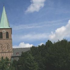
Church of the Assumption
3.5 km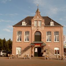
Belfort
3.3 km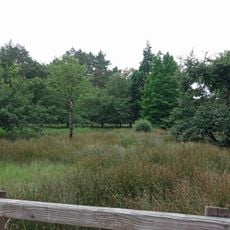
Heidemoore
970 m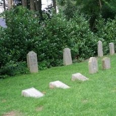
Jüdischer Friedhof
3.8 km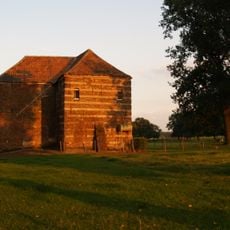
Huis Oyen
4.1 km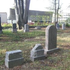
Jüdischer Friedhof (Bracht)
2.4 km
Maalbekermolen
1.3 km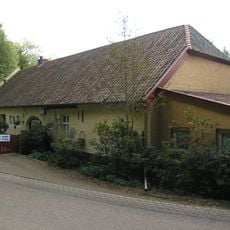
Malbeck
1.2 km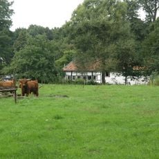
Ronckensteinsmolen
3.6 km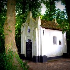
Onze-Lieve-Vrouw-van-Troostkapel
3.8 km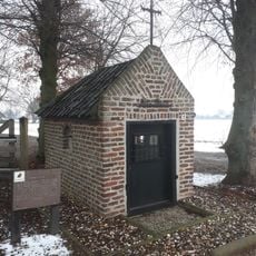
Mariakapel
3.9 km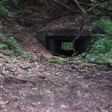
Railway tunnel De Hondsdiek
3.8 km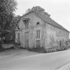
Holtmeule
4.2 km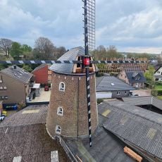
Heimatmuseum Brachter Mühle
3.5 km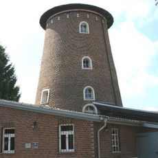
Brachter Mühle
3.5 km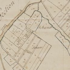
Loherschans
2.9 km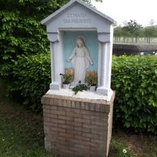
Mariakapel
3.2 km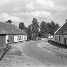
Ronkenstein 2, Reuver
3.7 km
Ronkenstein 7, Reuver
3.7 km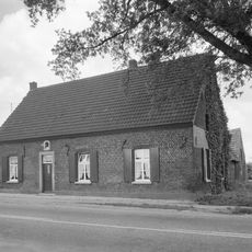
Rijksweg Noord 33a, Belfeld
3.9 km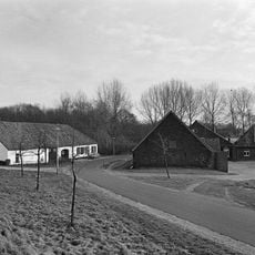
Ronkenstein 4, Reuver
3.7 kmReviews
Visited this place? Tap the stars to rate it and share your experience / photos with the community! Try now! You can cancel it anytime.
Discover hidden gems everywhere you go!
From secret cafés to breathtaking viewpoints, skip the crowded tourist spots and find places that match your style. Our app makes it easy with voice search, smart filtering, route optimization, and insider tips from travelers worldwide. Download now for the complete mobile experience.

A unique approach to discovering new places❞
— Le Figaro
All the places worth exploring❞
— France Info
A tailor-made excursion in just a few clicks❞
— 20 Minutes