Römerlager Bielefeld, Roman military camp in Sennestadt, Bielefeld, Germany
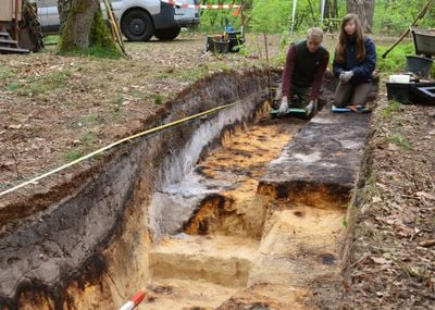
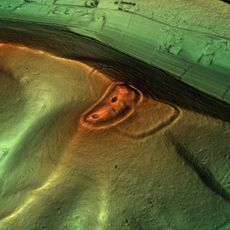
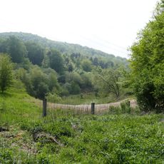
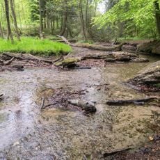
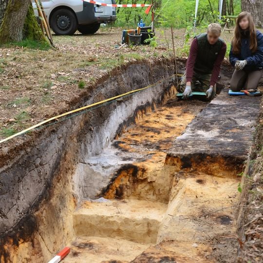
Römerlager Bielefeld is a temporary Roman marching camp of polygonal outline on the southern slope of the Teutoburg Forest, straddling the Sennestadt and Stieghorst districts. It covered about 26 hectares and held up to 25,000 soldiers. Three sides were enclosed by an earth rampart roughly 60 cm high and 2–3 m wide, fronted by a V-shaped ditch about 80 cm deep and 1.5 m wide; the eastern side relied on the steep bank above the Menkhauser Bach. The rampart line survives as shallow linear depressions in the forest floor.
Roman forces built the camp during the Augustan period when Emperor Augustus tried to conquer and control Germania east of the Rhine. The encampment was likely constructed for a major campaign and then abandoned after short use.
The camp's name comes from the nearby Bielefeld districts; locals also call it simply "Römerlager". Its two entrances were interpreted as clavicula gates, passages set at an angle in the earth wall so attackers had to turn and expose their flank. The site is not fully excavated: by December 2025 no find had yet allowed dating, and searching for objects without a permit is treated as looting.
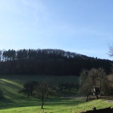
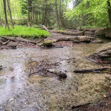
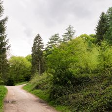
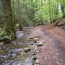
The site lies within the Senne forest and is best explored on foot, as the structures spread across a wide area and are accessible via walking trails. The ramparts and ditches are most visible during autumn and winter months when foliage is thin.
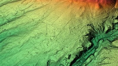
The camp's outline was first spotted in 2017 by Dutch hobby researcher René Jansen Venneboer, who examined publicly available Lidar scans from the state's TIM-online service and saw a continuous polygonal line beneath the trees. Excavations in 2018 and 2019 confirmed a rampart with a V-shaped ditch. As of December 2025, no find had yet allowed the site to be dated.
The community of curious travelers
AroundUs brings together thousands of curated places, local tips, and hidden gems, enriched daily by 94,196 contributors worldwide.