
Fließgewässer und Trockentäler, protected landscape in Lichtenau, Germany
Location: Lichtenau
Inception: 2014
GPS coordinates: 51.58830,8.80610
Latest update: March 2, 2025 23:20

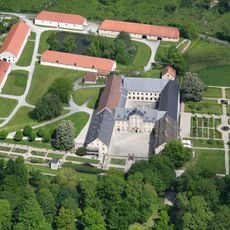
Kloster Dalheim
3.4 km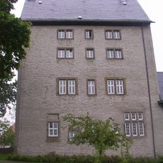
Burg Lichtenau
7.1 km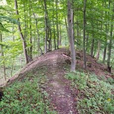
Wallburg Gellinghausen
7.4 km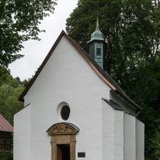
Kluskapelle
6.8 km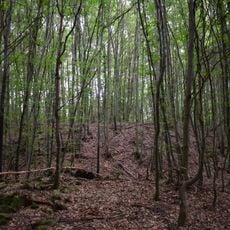
Marschallsburg
6.5 km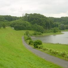
Hochwasserrückhaltebecken Husen-Dalheim
3 km
St. Kilian
7.1 km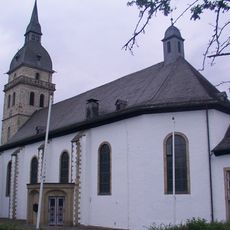
St. Achatius
894 m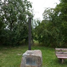
Galgen (Eilern)
5 km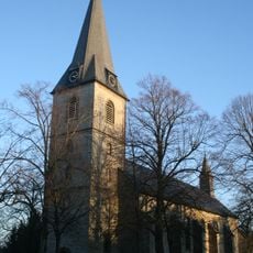
St. Vitus
6 km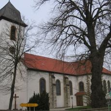
St. Simon und Judas Thaddäus
5.7 km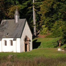
Saint Anne Chapel
4.6 km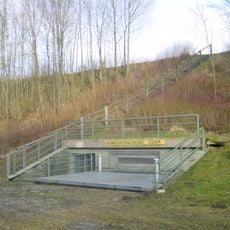
Hochwasserrückhaltebecken Sudheim
7.6 km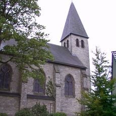
St. Apollonia
3.4 km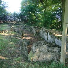
Galeriegrab Etteln
6.6 km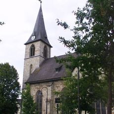
St. Andreas
2.4 km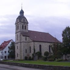
St. Maria Magdalena (Husen)
1.6 km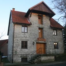
Ohrmackers-Mühle
6 km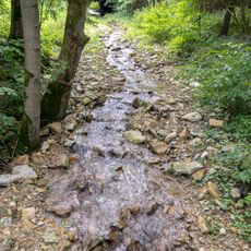
Marschallshagen und Nonnenholz mit oberem Altenautal
6.2 km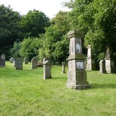
Jüdischer Friedhof Haaren
5.8 km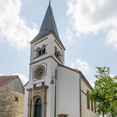
Evangelische Kirche Lichtenau
7.1 km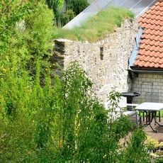
Ettelner Burg
5.7 km
LSG Büren
3.4 km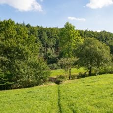
Mental
3.4 km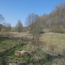
Apfelbaumgrund
6.3 km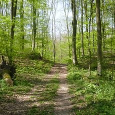
LSG Altenautal-Nonnenbusch
6.8 km
Geimer Berg
2 km
Nordhänge des Altenautals
2.3 kmReviews
Visited this place? Tap the stars to rate it and share your experience / photos with the community! Try now! You can cancel it anytime.
Discover hidden gems everywhere you go!
From secret cafés to breathtaking viewpoints, skip the crowded tourist spots and find places that match your style. Our app makes it easy with voice search, smart filtering, route optimization, and insider tips from travelers worldwide. Download now for the complete mobile experience.

A unique approach to discovering new places❞
— Le Figaro
All the places worth exploring❞
— France Info
A tailor-made excursion in just a few clicks❞
— 20 Minutes