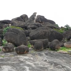
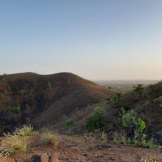
Upper East Region, Administrative region in northeastern Ghana
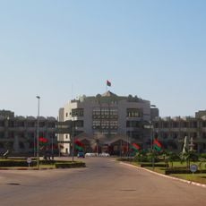
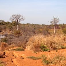
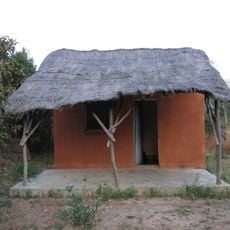
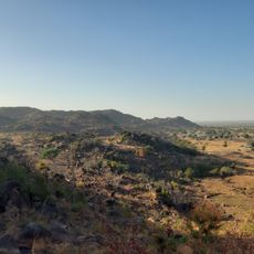
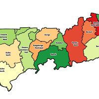
The Upper East Region spreads across northeastern Ghana with hills, flat plains, and traditional farming communities. The area divides into fifteen districts, each led by a district chief executive responsible for local governance.
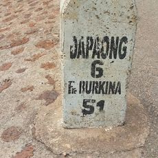
The region served as a key crossroads for trade routes connecting merchants from Mali and Burkina Faso to southern Ghana over many centuries. These long-standing connections shaped the area's cultural and economic life.
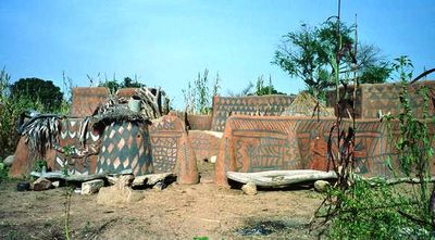
In Bolgatanga you can visit markets where artisans sell hand-woven baskets, pottery, and leather goods that reflect skills passed down through families.
The dry season offers better road conditions and visibility for traveling through the region. It helps to base yourself in larger towns like Bolgatanga to explore smaller villages and markets from there.
At Paga Crocodile Pond, visitors can watch local children and caretakers swim peacefully alongside wild crocodiles in a tradition spanning generations. This unusual bond developed through regular contact and long-standing mutual understanding.
Location: Ghana
Capital city: Bolgatanga
Shares border with: North East Region, Upper West Region
GPS coordinates: 10.75000,-0.75000
Latest update: December 20, 2025 15:30
Mole National Park
166.6 km
Gbewaa Palace
167 km
Paga Crocodile Pond
47.2 km
Kosyam Palace
189.9 km
Kéran National Park
165 km
Pikworo Slave camp
46.6 km
Stade Municipal
198.4 km
Ranch de gibier et forêt de Nazinga
91.7 km
Nazinga Game Ranch
93.8 km
Kaboré Tambi National Park
107.3 km
Tongo Hills
10.5 km
Cathedral Basilica of Our Lady of Seven Sorrows
38.8 km
Musée national du Burkina Faso
197.5 km
Lake Kompienga
157.4 km
Monument des Martyrs
192.3 km
Our Lady of Graces Cathedral, Koupéla
165.3 km
Nano
153.9 km
Bantia Botanical Garden
186.5 km
Well of Hope
5.3 km
Granaries at the Caves of Nok
97.9 km
Red Clay Studio
141.1 km
Tiébélé Royal Court
44.7 km
Dallung Community Library
128.1 km
Hiding Cave
11.5 km
Moya
142 km
Yendi Cathedral
166 km
Zonno Zoore
4.6 km
Fosse aux Lions National Park
101.5 kmVisited this place? Tap the stars to rate it and share your experience / photos with the community! Try now! You can cancel it anytime.
Bawku Municipal District
Bawku West District
Binduri District
Bolgatanga East District
Bolgatanga Municipal District
Bongo District
Builsa North District
Builsa South District
Garu-Tempane District
Kassena-Nankana Municipal District
Kassena-Nankana West District
Nabdam District
Pusiga District
Talensi District
Tempane District
Garu District
Discover hidden gems everywhere you go!
From secret cafés to breathtaking viewpoints, skip the crowded tourist spots and find places that match your style. Our app makes it easy with voice search, smart filtering, route optimization, and insider tips from travelers worldwide. Download now for the complete mobile experience.
A unique approach to discovering new places❞
— Le Figaro
All the places worth exploring❞
— France Info
A tailor-made excursion in just a few clicks❞
— 20 Minutes