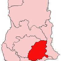
Eastern Region, Administrative region in southeastern Ghana
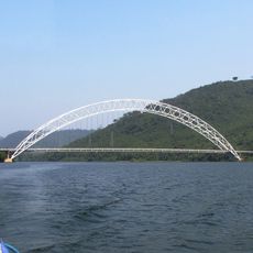
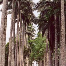
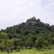
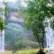
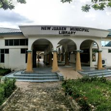
The Eastern Region is an administrative area in southeastern Ghana featuring a varied landscape with hills, valleys, and rivers throughout its expanse. Multiple districts and towns sit within this territory, each serving as local hubs for communities and commerce.
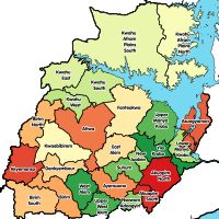
The region evolved from the historical Eastern Province through several administrative restructurings beginning in 1957. These changes shaped its current boundaries and the way districts are organized today.
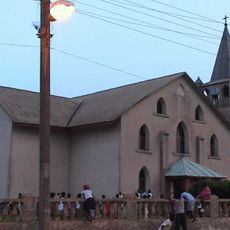
The Odwira Festival brings communities together to celebrate with traditional music, dancing, and local food while performing shared ceremonies across different districts. These gatherings reveal how deeply rooted celebrations remain woven into the rhythm of community life.
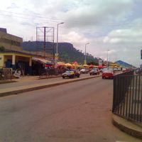
The area connects to major cities through a network of highways, with minibuses and taxis regularly serving routes between districts. Travelers should allow extra time for journeys, as transport services follow a flexible schedule based on passenger demand.
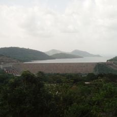
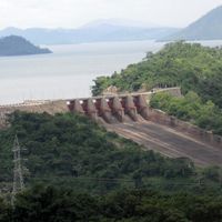
The reservoir created by the Akosombo Dam in 1965 shaped the region's geography and became one of the world's largest artificial bodies of water. This massive lake influences the daily life and livelihoods of communities along its shores.
The community of curious travelers
AroundUs brings together thousands of curated places, local tips, and hidden gems, enriched daily by 60,000 contributors worldwide.