
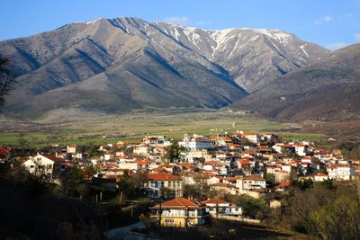
Achladochori, village in Serres regional unit, Greece
Location: Sintiki Municipality
GPS coordinates: 41.32083,23.54222
Latest update: March 10, 2025 19:34
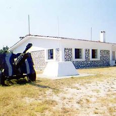
Fort Roupel
14.4 km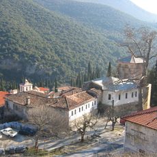
Saint John the Baptist Monastery, Serres
21.5 km
Gotsev Vrah
9.1 km
Alibotoush
9.1 km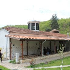
Saint George Church
22.5 km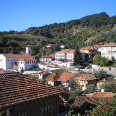
Saint Demetrius Church
20.4 km
Ushite
22.7 km
Tsari Vrah
12 km
Shabran
8.6 km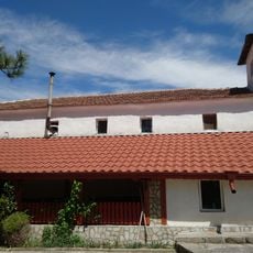
Свети Георги
17.9 km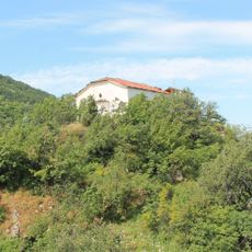
Saint Athanasius Church
17.4 km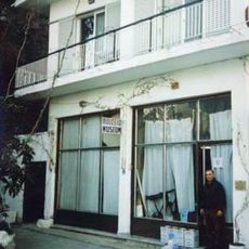
Mihalis Tsartsidis Folklore and History Museum
15.8 km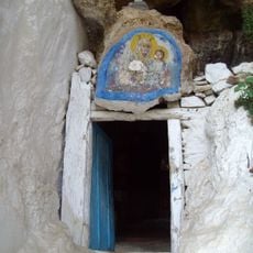
Ascension of the Lord Church
6.3 km
Свети Димитър
13.6 km
Saint Demetrius Church, Sidirokastro
15.4 km
Life-giving Spring Church, Kapatovo
22 km
Dormition of Mary Church
11.3 km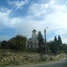
All Saints Church
20.7 km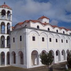
Свети Илия
167 m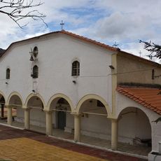
Ι. Ναός Αγίου Δημητρίου
12.5 km
Prosveta Cultural Centre, Katuntsi
16.5 km
Свети Архангел Михаил
15.8 km
Saint Demetrius Church, Lakkos
20.5 km
Agii Theodori, Kato Vrontous
18.1 km
Saint George Church, Vamvakofyto
19.5 km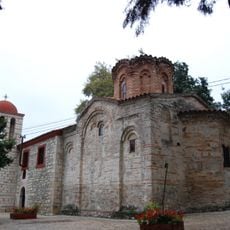
Saint Nicholas Church, Elaionas
20.1 km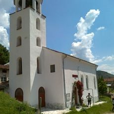
Sts. Constantine and Helen Church
17.2 km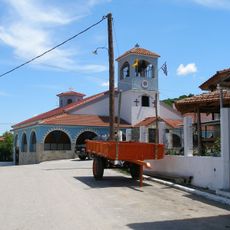
Saint Nicholas Church, Vathytopos
14.5 kmVisited this place? Tap the stars to rate it and share your experience / photos with the community! Try now! You can cancel it anytime.
Discover hidden gems everywhere you go!
From secret cafés to breathtaking viewpoints, skip the crowded tourist spots and find places that match your style. Our app makes it easy with voice search, smart filtering, route optimization, and insider tips from travelers worldwide. Download now for the complete mobile experience.

A unique approach to discovering new places❞
— Le Figaro
All the places worth exploring❞
— France Info
A tailor-made excursion in just a few clicks❞
— 20 Minutes