
Elaties Municipal Unit, subdivision of Zakynthos Municipality, Greece
Location: Zakynthos Municipality
GPS coordinates: 37.86667,20.66667
Latest update: March 3, 2025 02:33

Navagio
3.8 km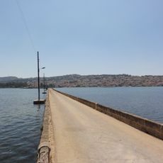
De Bosset Bridge
37.5 km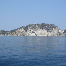
National Marine Park of Zakynthos
22.5 km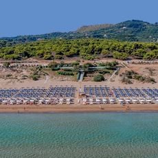
Banana Beach
31.5 km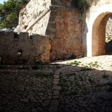
Fortress St. George
31.9 km
Monastery of Saint Gerasimus, Kefallonia
34 km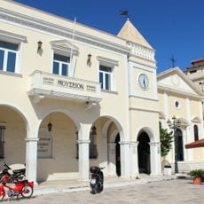
Solomos Museum
22.2 km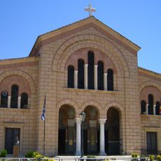
Saint Dionysios metropolitan cathedral
22.6 km
Catholic church of John Mark
22.2 km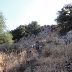
Kranioi
35.7 km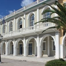
Byzantine Museum of Zakynthos
22.3 km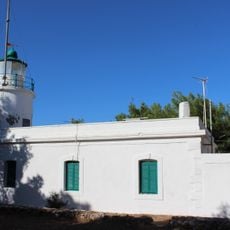
Phare Akra Kerion
26.8 km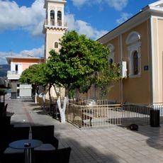
Εκκλησία Αγίου Σπυρίδωνα
37.9 km
Zakynthos public library
22.3 km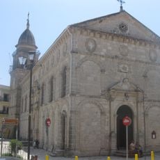
Church of Faneromenis, Zakyntho
22.4 km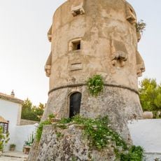
Tower of Agios Georgios
2.8 km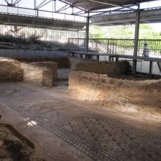
Skala Roman villa
25.6 km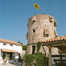
Monastery of Agios Georgios Krimnon
2.8 km
Tower of Ambeloravdi
16.9 km
Moni Panagia Skopiotissa
27.2 km
Church of Agios Nikolaos tou Molou
22.4 km
Tower of Monastery of Anafonitria
3.1 km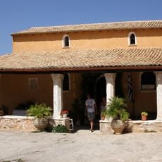
Anafonitria Monastery
3.1 km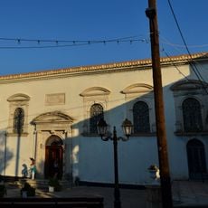
Church of Agioi Timotheou and Mavras, Machairado
17.5 km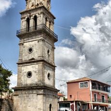
Bell tower of Agios Nikolaos, Koiliomeno
16.3 km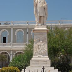
Statue of Dionysios Solomos, Zakynthos
22.3 km
Church of Kyras ton Angelon, Zakyntho
22.2 km
Church of Evangelistrias, Kastro
31.7 kmReviews
Visited this place? Tap the stars to rate it and share your experience / photos with the community! Try now! You can cancel it anytime.
Discover hidden gems everywhere you go!
From secret cafés to breathtaking viewpoints, skip the crowded tourist spots and find places that match your style. Our app makes it easy with voice search, smart filtering, route optimization, and insider tips from travelers worldwide. Download now for the complete mobile experience.

A unique approach to discovering new places❞
— Le Figaro
All the places worth exploring❞
— France Info
A tailor-made excursion in just a few clicks❞
— 20 Minutes