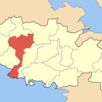
Boeotia Regional Unit, Regional unit in Central Greece, Greece
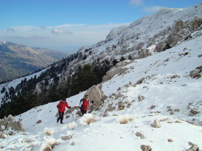
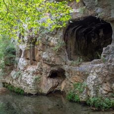
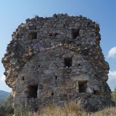
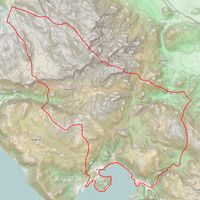
Boeotia Regional Unit stretches between the Gulf of Corinth and the Gulf of Euboea, covering several plains divided by low mountain ridges. The territory ranges from sea level to forested slopes and bare summits at the edges of the region.
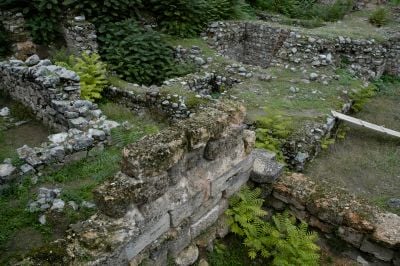
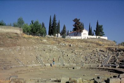
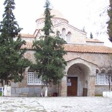
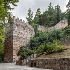
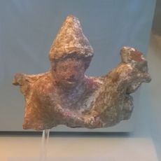
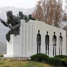
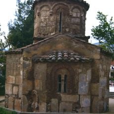
This region played a central role in the Greco-Persian Wars and remained a contested territory between neighboring city-states for centuries. Roman conquest and Byzantine rule followed before the area became part of the modern Greek state.
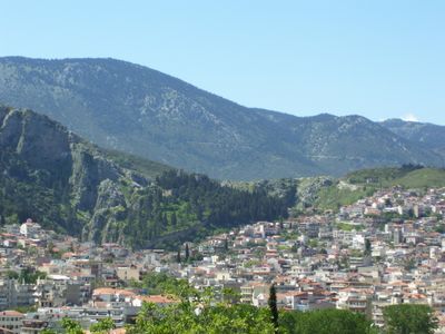
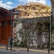
The name Boeotia comes from the Greek word for ox, reflecting the importance of cattle farming across these fertile lowlands. Olive groves and small towns shape the countryside today, while villages continue agricultural traditions passed down through generations.
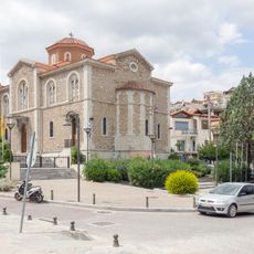
Local roads connect the six municipalities, with the capital Livadeia located in the north and the larger town of Thebes in the south. Visitors find basic facilities and starting points for exploring the surrounding countryside in both towns.
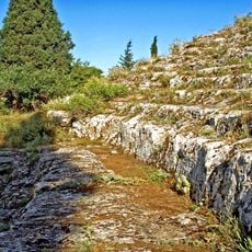
The once large Lake Kopais was drained in the late 1800s and transformed into farmland. The huge drainage channels from that period are still visible today, cutting across the northern plain.
The community of curious travelers
AroundUs brings together thousands of curated places, local tips, and hidden gems, enriched daily by 60,000 contributors worldwide.