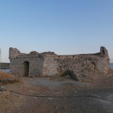
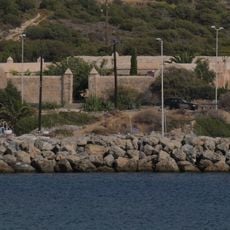
Navtilos, Rocky skerry in Kythira Municipality, Greece
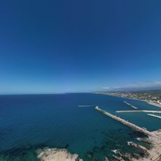
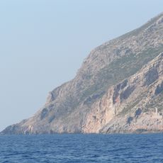
Navtilos is a rocky skerry in Kythira Municipality with a jagged surface formed by scattered stones. The formation extends across the sea and rises only slightly above water level.
The skerry was documented in historical nautical charts and served as a known reference point for shipping routes. Local seafarers have long maintained knowledge of this hazardous location in their maritime traditions.
Maritime traditions of the Ionian Islands region include detailed knowledge of Navtilos's presence, passing this information through generations of local seafarers.
Vessels must keep a safe distance from this formation due to underwater rocks around it and should follow established shipping routes. Navigation in this area requires careful attention and reference to proper nautical charts.
Water depth increases dramatically just beyond the immediate area around the rocks, creating a sharp contrast to the shallow zone nearby. This sudden change in underwater topography is important information for anyone traveling in the region.
The community of curious travelers
AroundUs brings together thousands of curated places, local tips, and hidden gems, enriched daily by 60,000 contributors worldwide.