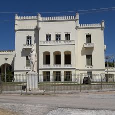
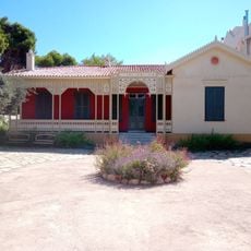
Acharnes Municipality, municipality in Athens urban area, Greece
Location: East Attica Regional Unit
Capital city: Acharnes
Shares border with: Nea Filadelfeia-Nea Chalkidona Municipality, Kifisia Municipality, Agioi Anargyroi-Kamatero Municipality, Dionisos Municipality, Oropos Municipality, Fyli Municipality, Metamorfosis Municipality
Website: https://acharnes.gr
GPS coordinates: 38.15068,23.75288
Latest update: March 10, 2025 06:36
Tatoi Palace
3.7 km
Villa Kazouli
10.5 km
Hellenic Air Force Museum
5.2 km
Moni Kleiston
8.7 km
Goulandris Natural History Museum
10.1 km
Terra Vibe Park
10.1 km
Cyprian and Justina Monastery
7.7 km
Drossinis Museum
10.2 km
Phyle
9.8 km
St. Paraskevi convent Acharnes
4.4 km
Yannis Tsarouchis Foundation
10.6 km
Parnitha National Park
4 km
Phyle
10.2 km
Tomb of Menidi
10.3 km
Church of Agios Trifonas Kamaterou
11.8 km
OTE Museum of Telecommunications
8.4 km
Statue of Paris
10.9 km
Kifisia Roman Grave Monument
10.2 km
Villa Zervoudaki
9.3 km
Syngrou villa (Marousi)
10.9 km
Oros Parnitha
3.6 km
Villa Atlantis
9.4 km
Church of Koimisis Theotokou, Stamata
11.4 km
Church of Agioi Tessarakonta - Kifissia
10.4 km
Andreas Syngros statue, Marousi
10.9 km
House of Pavlos Melas - Kifisia
9.1 km
Church of Agios Dimitrios Kifissias
10.4 km
Bust of Sofoklis Venizelos, Pefki
10.8 kmReviews
Visited this place? Tap the stars to rate it and share your experience / photos with the community! Try now! You can cancel it anytime.
Discover hidden gems everywhere you go!
From secret cafés to breathtaking viewpoints, skip the crowded tourist spots and find places that match your style. Our app makes it easy with voice search, smart filtering, route optimization, and insider tips from travelers worldwide. Download now for the complete mobile experience.
A unique approach to discovering new places❞
— Le Figaro
All the places worth exploring❞
— France Info
A tailor-made excursion in just a few clicks❞
— 20 Minutes